

Locate21 will be exploring ‘Convergence, Collaboration and Community – towards a stronger economy’.
CSIRO moves to free model with Open Access
By Charles Pauka on 9 March, 2021CSIRO said the changes would see the removal of paywalls and enable unrestricted access to its research.
LiDAR sensors help drive unmanned bus
By Charles Pauka on 8 March, 2021Ouster and Qcraft have launched another fleet of robobuses outfitted with Ouster LiDAR sensors
New weapon in the anti-drone wars
By Charles Pauka on 8 March, 2021DroneShield has released the DroneCannon MKII, the next generation fixed-site UAS/drone disruption device.
SIBA|GITA appoints new general manager
By Charles Pauka on 8 March, 2021Danika Bakalich took over the reigns of the organisation on 1 March after 20 years in industry and government.
Kleos Space to launch third satellite cluster in December
By Charles Pauka on 8 March, 2021Kleos Space is to launch its third satellite cluster (KSF2) in December 2021 aboard a SpaceX Falcon 9 rocket.
Artificial Intelligence translating geospatial data into knowledge
By Spatial Source on 4 March, 2021Aerometrex is using supervised machine learning algorithms to differentiate between permeable and impermeable ground surfaces, using their high resolution 2D aerial imagery.
How a VPN Can Help Boost your Business
By Spatial Source on 4 March, 2021There’s no doubt the Internet can help your business succeed. It can help you find new customers, connect with existing clients and lower the costs of running your company. However, it’s also a dangerous place for businesses. According to a study by Internet Provider Verizon, 50% of all online attacks target small businesses. The report […]
Australian next-generation propulsion system tested
By Charles Pauka on 2 March, 2021An Australian research consortium has successfully tested a next generation propulsion system.
Registration for Geo Connect Asia now open
By Charles Pauka on 2 March, 2021Geo Connect Asia 2021 will combine plenary sessions and conferences in a hybrid format.
Latest Geospatial News
View all
The Geo Connect Asia conference and exhibition has been moved from March to June 2022.
 2022-02-01
ADVERTISEMENT
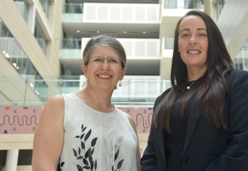
In our Leaders Forum, we ask experts to look ahead into 2022. Today we talk with Alison Rose and Gemma Van Halderen.
2022-01-31 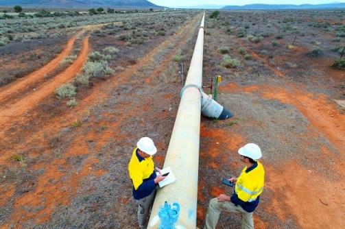
A CRSBANZ webinar will outline work on a National Standard of Competency for Licensed or Registered Surveyors.
2022-01-27 
In our new Leaders Forum, we ask experts to look ahead into 2022. Today we talk GNSS with Graeme Hooper.
2022-01-26 
Geovation has launched a challenge find a sustainable solution to tackle diffuse coastal pollution.
2022-01-25 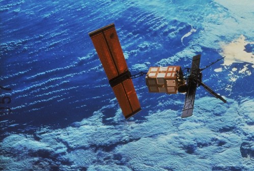
Hyperspectral imaging is on the cusp of a revolution, as CubeSat missions aim to add to the orbital fleet.
2022-01-25
ADVERTISEMENT

In our new Leaders Forum, we ask experts to look ahead into 2022. Today we talk metaverses with David Byrne.
2022-01-24 
- Sponsored Content
Aidedo was founded based on the practical experience of CEO Aiden Tong while studying and working with many Civil Engineering and Land Surveying firms in developed countries.
2026-06-02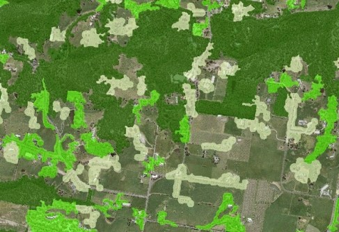
A state-wide dataset that used to take 100 people two years to create can now be produced in less than a week.
2022-01-24 



Events
View All-
Nov 9
2026 Advancing Earth Observation Forum
 Hobart, Tasmania
-
Nov 10
SouthPAN Industry Day
Online -
Nov 13
South West and Great Southern Surveyors Conference
Mantra Bunbury Lighthouse, Bunbury, WA -
Nov 24
Locate26 Conference / 10th Digital Earth Summit
Melbourne Convention & Exhibition Centre -
Nov 30

