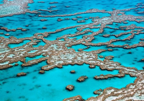
Australian researchers are designing a global real-time monitoring system to help save the world’s coral reefs.

DCS Spatial Services adds new elevation data
The update covers 48 areas across NSW and comprises point clouds and digital elevation models.
Read moreLatest Geospatial News
View all
ADVERTISEMENT
Survey firms will need to ensure they have begun using the new Landonline by late April 2025.
 2025-02-19
Germany has agreed to extend its funding of the UN Global Geodetic Centre of Excellence until 2030.
 2025-02-19
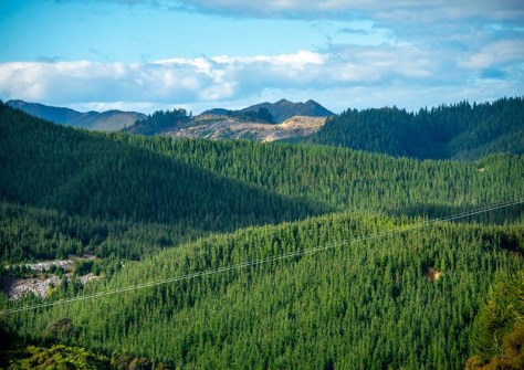
AI and 3D airborne LiDAR have been used to map radiata pine forests for most of New Zealand’s North Island.
 2025-02-18
Delaney will succeed Ross Lewin as CEO next month as the firm adds AI-powered solutions to its product range.
 2025-02-18
The Group on Earth Observations, C40 Cities and IBM will develop AI solutions to urban heat problems.
 2025-02-17
ADVERTISEMENT
The new Auckland and Wellington offices will offer sales, calibrations and support services.
 2025-02-14
The Sentinel-2A satellite has been given a 12-month “exceptional and temporary” reprieve from retirement.
 2025-02-12
 Events
View All-
Nov 24
-
Nov 26
Leica TS20 launch roadshow – Newcastle
 Rydges Newcastle, Merewether Street, Newcastle
 -
Feb 4
PNT 2026 Conference
 Royal Randwick racecourse, Sydney
 -
Feb 17
Geo Week 2026
 Colorado Convention Center, Denver
 -
Mar 4
BYDA Utility Safety Conference 2026
 RACV Club Melbourne


