

Geoscape Australia will use GeoX’s machine vision and deep learning tech to enhance its 3D digital maps.
AGI signs up to the Locus Charter
By jnally on 9 August, 2021Association for Geographic Information joins Charter members in promoting the ethical use of location data.
Read full story • Comments are closed
NT aims to tap into US$43b drone industry
By jnally on 9 August, 2021The Territory sees itself as being ideally placed for activities such as testing of drones in remote settings.
DJI’s 1-2 punch: Matrice 300 drone + new 45 MP Zenmuse P1
By Spatial Source on 8 August, 2021The long flight time of the Matrice 300 combined with the new 45 megapixel Zenmuse P1 sensor helps cut project times in half.
Gilmour Space joins AROSE consortium
By jnally on 6 August, 2021Gilmour Space Technologies is the newest member of the Australian Remote Operations for Space and Earth group.
Seequent acquires geo-imagery specialist Imago
By jnally on 6 August, 2021Bentley’s Seequent business has acquired Imago, a developer of cloud-based geoscientific imagery software.
Wingtra launches the WingtraOne GEN II
By jnally on 5 August, 2021Wingtra has announced the availability in Australia of the WingtraOne GEN II advanced VTOL drone.
NASA expands contracts with Planet, Spire Global
By jnally on 4 August, 2021The contracts will broaden access to Earth imagery for US government civil science researchers and collaborators.
ScanX: How it can benefit your business
By Spatial Source on 3 August, 2021ScanX is a web-based point cloud processing platform that helps speed up the treatment of 3D scans through our patent-pending automated workflows
Latest Geospatial News
View all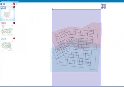
Victoria’s ePlan process for all 2D plans of subdivisions has been simplified with new features.
 2022-06-27
ADVERTISEMENT
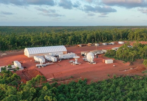
The historic launch from the Northern Territory was NASA’s first from a fully commercial spaceport.
2022-06-27 
Researchers will use GNSS data from the Singapore Satellite Positioning Reference Network, plus archived data.
2022-06-23 
HMS Scott is preparing for a 14-month mission to survey half a million square kilometres of seabed.
2022-06-21 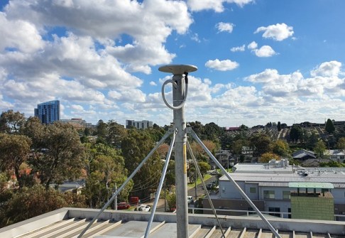
A permanent GPSnet ground station at Heidelberg will support Melbourne’s North East Link Program.
2022-06-21 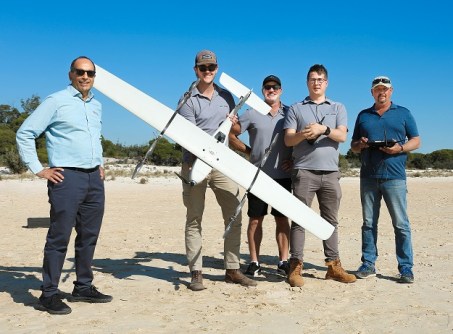
WA-based Global Drone Solutions has grown rapidly to become a leading training organisation.
2022-06-20
ADVERTISEMENT

The survey aims to find out about user needs and bridge the gaps between data access and utilisation.
2022-06-20 
- Sponsored Content
Aidedo was founded based on the practical experience of CEO Aiden Tong while studying and working with many Civil Engineering and Land Surveying firms in developed countries.
2026-06-02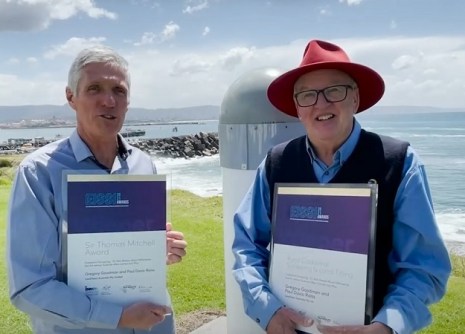
Nominations for the NSW Excellence in Surveying and Spatial Information Awards close on 29 June.
2022-06-20 



Events
View All-
Nov 9
2026 Advancing Earth Observation Forum
 Hobart, Tasmania
-
Nov 10
SouthPAN Industry Day
Online -
Nov 13
South West and Great Southern Surveyors Conference
Mantra Bunbury Lighthouse, Bunbury, WA -
Nov 24
Locate26 Conference / 10th Digital Earth Summit
Melbourne Convention & Exhibition Centre -
Nov 30

