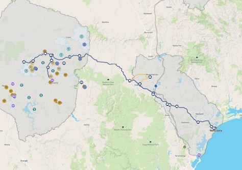
The maps show where road upgrades are needed between Newcastle and a western NSW Renewable Energy Zone.
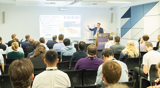
Locate26 Conference: Detailed program rundown
The Locate conference is less than three weeks away, so now’s the time to register and check out the program.
Read moreLatest Geospatial News
View all
ADVERTISEMENT
The standard defines a web interface for portraying geographic information, linking disparate data into a single view.
Australia will benefit from the eased restrictions on electro-optical and radar remote sensing technologies.
A new study outlines 12 major use cases for seabed mapping that highlight its value for sustainability and innovation.
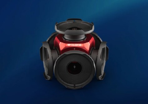
The 360-degree camera can capture spherical images from moving platforms and in all-weather conditions.
Spark and WSP have won a Going Digital Award for their work on the North East Link Central Package project.
ADVERTISEMENT
The collaboration will enable the use of Google 2D, 3D geospatial data within Bentley’s applications and platforms.
Aidedo was founded based on the practical experience of CEO Aiden Tong while studying and working with many Civil Engineering and Land Surveying firms in developed countries.
Arlula will supply Maxar’s geospatial data products and solutions to clients across Australia and New Zealand.
Events
View All-
Nov 9
2026 Advancing Earth Observation Forum
Hobart, Tasmania -
Nov 10
SouthPAN Industry Day
Online -
Nov 13
South West and Great Southern Surveyors Conference
Mantra Bunbury Lighthouse, Bunbury, WA -
Nov 24
Locate26 Conference / 10th Digital Earth Summit
Melbourne Convention & Exhibition Centre -

Nov 30