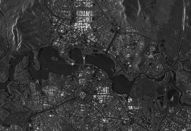
Synthetic aperture radar image of Canberra. © SSTL 2019
Avirtual Town Hall meeting will take place on 25 August to discuss how the Australian Earth observation (EO) sector can work to build individual and national capabilities.
To be held as part of Earth Observation Australia’s online Advancing Earth Observation Mini Forum, the event aims to connect the government, industry, start-up, education and research sectors.
The Town Hall meeting will give an overview of Australia’s four current national EO coordination programs, followed by a panel discussion. Those programs are:
- Earth Observation Australia’s EO Community Plan 2016-2026
- The Space and Spatial 2020-2030 RoadMap
- Australian Space Agency’s National Civil Space Priority EO Roadmap
- Australian Academy of Sciences’ Decadal Space Sciences Plan 2021-2031
Five top-level speakers have been lined up to share their insights:
- Kate Williams, FrontierSI
- Donna Lawler, Azimuth Advisory
- Jonathon Ross, GeoScience Australia
- Alisa Starkey, Ozius
- Reece Biddiscombe, Australian Space Agency
The meeting is aimed at anyone in the industry who is involved in designing, building and launching sensors on drones-aircraft and satellites; developing algorithms to deliver measurements, geospatial products and services to industry and government; or using information derived from EO data.
Stay up to date by getting stories like this delivered to your inbox.
Sign up to receive our free weekly Spatial Source newsletter.


