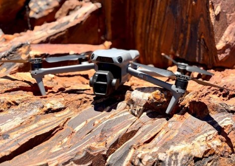
Mining company Austin Metals has begun a high-resolution drone imagery and field mapping program at its Austin Gold Project in Western Australia.
The company says the imagery and mapping, along with rockchip sampling, will lead to enhanced target identification.
“It was very pleasing to be on site as the company commenced Phase 1 activities in the Northern Zone of the Austin Gold Project, capturing high-resolution drone imagery along key BIF [banded iron formation] trends at Brunswick Hill, Mt Sandy, and Golconda Well,” said Austin Metals’ Managing Director, Mike Moore.
“Our teams are also conducting detailed field mapping and targeted rock-chip sampling in areas identified from the drone data.
“Once these initial surveys are complete, we will then follow-up with a broad-spaced rock-chip sampling program to identify gold pathfinder elements and alteration zones.
“The combined results will guide a new geophysical and structural interpretation to define precise drill targets areas.”
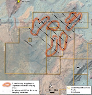
The Austin Gold Project covers around 175 square kilometres in an area 45 kilometres north of Mt Magnet the famous Murchison gold mining district.
The area has historically produced more than 17 million ounces of gold.