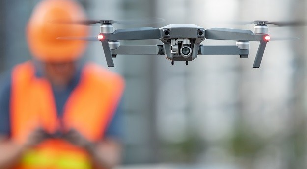
The WISDAM app uses aerial survey data to map animal detections to real-world...
drone mapping
-
A QUT researcher has been awarded $240,000 to identify the best data collection...
2024-10-02
A federally funded program will see short courses provided by universities in Queensland...2023-06-14


