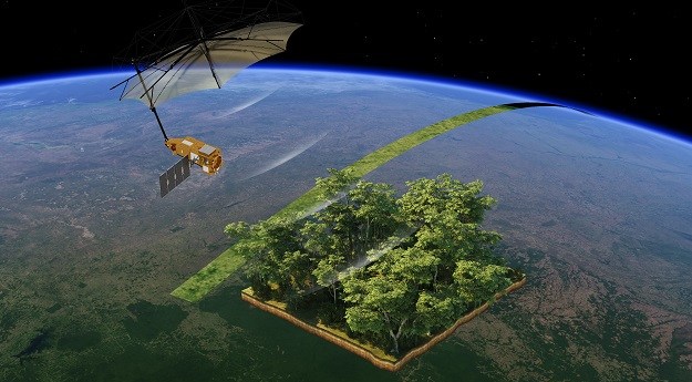
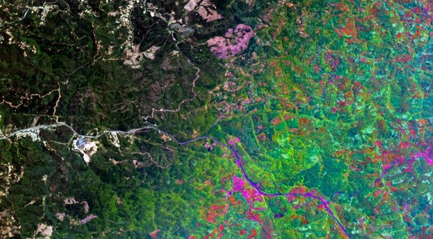
Biomass will measure how much carbon is stored in forests and how that...
Remote Sensing
-
UP42 customers can now task Maxar’s satellite constellation and access very high-resolution imagery.
2025-05-02
The deal with an undisclosed defence and security operator is for near-daily, ultra-low...2025-04-30
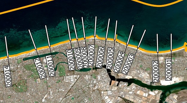
A new study highlights the accuracy of satellite-derived bathymetric datasets in coastal environments.2025-04-16
ADVERTISEMENTLee brings wide remote sensing and tech experience to the role, having previously...2025-03-27
Planet Labs will use Anthropic’s Claude large language model to analyse complex visual...2025-03-26
iQPS plans to have a constellation of 36 satellites, able to image specific...2025-03-25
Lemu will add Wyvern imagery to its platform, while Wyvern will task excess...2025-03-18
The companies’ new partnership will give farmers across the world access to near-daily...2025-03-12
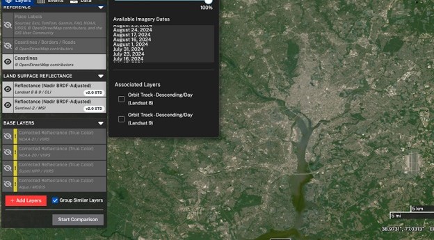
A new tutorial shows how to find harmonised Landsat and Sentinel-2 imagery by...2025-03-12
Kanyini’s first EO images have been released more than 200 days after the...2025-03-05
Two new research collaborations will drive geo-enabled solutions to address climate mitigation and...2025-03-05
Three projects have been launched under the European Space Agency’s Digital Twin of...2025-02-26
AI and 3D airborne LiDAR have been used to map radiata pine forests...2025-02-18
The Sentinel-2A satellite has been given a 12-month “exceptional and temporary” reprieve from...2025-02-12
Australian clients will have access to Picterra’s GeoAI platform plus support from The...2025-02-12
Maxar says its WorldView Legion fleet will provide up to 3.6m square km...2025-02-11
The ‘supersite’ for Earth observation calibration and validation would be established in Finnish...2025-02-05
Planet’s SkySat imagery will sit alongside ESA’s Sentinel satellite data within the Copernicus...2025-02-04
Free Dragonette satellite imagery will be offered under the CC BY 4.0 creative...2025-02-04
Newsletter
Sign up now to stay up to date about all the news from Spatial Source. You will get a newsletter every week with the latest news.
© 2026 Spatial Source. All Rights Reserved.
Powered by WordPress. Designed by