During GEO Week 2021, the Group on Earth Observations will present the multidisciplinary activities of the GEO Work Programme that address policy agendas involved in the UN Framework Convention on Climate Change (UNFCCC) COP26, the Convention on Biological Diversity (CBD) COP15, the UN Decade of Ocean Science for Sustainable Development and the UN Decade of Ecosystem Restoration.
The online event will include the GEO-17 plenary, plus anchor and side events. Time will be scheduled each day for virtual networking. On Monday, November 22, the 56th Executive Committee will be held as a closed meeting.
Of particular importance will be the anchor events: These are the main events designed by GEO week 2021 organisers to explain the multidisciplinary nature of GEO through the concept of nexus thinking. Working on multiple topics simultaneously is essential in today’s rapidly changing environmental and social conditions. For example, work in one area will have a knock-on effect or impact in another area, such as the water, energy and food nexus. These events are linked to the global policy agendas that underpin most of GEO’s work.
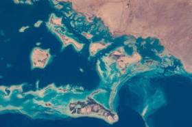
Image credit: NASA

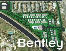
Join Bentley Systems at the launch of what it says is the industry’s most complete Survey and Site Design Solution ever offered to the ANZ market.
As technology advances and industry expectations increase, your software needs to keep pace with this ever-changing environment. In short, your software needs to deliver on today’s requirements and be ready for tomorrow’s challengers.
If you work in road design, site surveying, site development and related fields, this webinar is for you.
Throughout the launch, Bentley Systems will demonstrate traditional survey data capture capabilities, coupled with the latest mass data collection survey methods, including Total Station techniques, Point Cloud techniques and Digital Photogrammetry techniques.
Leveraging the above survey results, the launch will continue through a typical site design workflow, incorporating aspects such as:
- Terrain creation and analysis
- Urban road widening design
- Carpark and recreational area design
- Drainage and Utility design and analysis
- Plan production and digital model delivery
- Model visualisation
Air Inspect Australia will also be joining the webinar to share their insights and learnings of their project.
If you or your company perform any of the above-mentioned workflows, then this is one webinar you should not miss.

Commercial UAV Expo, September 6-8 in Las Vegas is the premier event for the commercial drone industry focusing on the integration/operation of commercial UAS.
The event will feature exhibits and demonstrations by UAS solutions providers; keynotes, panel discussions, and presentations with interactive Q&A and chat; AI-powered networking; and more.
Industries covered include Construction; Drone Delivery; Energy & Utilities; Forestry & Agriculture; Infrastructure & Transportation; Mining & Aggregates; Public Safety & Emergency Services; Security; and Surveying & Mapping. It is presented by Commercial UAV News and organised by Diversified Communications.
Use code SAVE100 for a US$100 discount and/or FREE expo admission.

The 2023 Queensland Geospatial Conference & Awards Dinner will be held in Brisbane on Friday, 20 October 2023.
The conference will be a chance for the Queensland geospatial community to learn about the latest projects and research, connect with colleagues and see the latest technology from local suppliers. The conference will be followed by the awards dinner.
Presentation abstract proposals are being accepted until Monday, 28 August.
Image credit: ©stock.adobe.com/au/rudi1976


