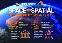
During 2020 an expert group drafted the SPACE+SPATIAL Industry Growth Roadmap 2030 – a national snapshot for Australian professionals to better understand the bold new future that’s rapidly approaching and what it means for them, their careers, their organisations and all of Australia.
The National Steering Committee is seeking feedback on the Roadmap from spatial professionals of all levels across the country. There are a number of ways to get involved, one of which is to participate in this SSSI and SIBA|GITA SPACE+SPATIAL Roadmap Online Session.
You will hear about the key plans, activities and issues and have the opportunity to have a meaningful discussion with colleagues about your thoughts on the Roadmap Consultation Paper and the topic in general.

The International Cartographic Association (ICA) Commission on Atlases, the ICA Commission on Map Design, the Joint ICA-IGU Commission on Toponymy, the National Geographic Institute of Spain (IGN) and the Spanish Society for Cartography, Photogrammetry and Remote Sensing (SECFT) will jointly host a conference on atlases, toponymy and map design in Madrid.
During six sessions of four presentations each, questions concerning evolving dissemination concepts and techniques for atlases, recent development and examples of national atlases as well as important map design and toponomastic issues in atlas production will be discussed.
The theme of the event will be ‘Atlases in time’. Presentations will be held in a 20-minute format of 15 minutes presenting and 5 minutes discussion.

Survey and Spatial NZ’s 2022 conference will be held from 1 to 3 August at the Novotel Lakeside, Rotorua. The conference is the biggest continuing professional development event of the year for NZ surveying and spatial professionals. It invites sharing of knowledge amongst peers, bringing together networking opportunities for all delegates and is an essential event for professional development and connectivity within the sector.
The choice of Rotorua as the location is apt, given the conference theme of ‘Turning up the Heat’. The organisers aim to stimulate discussion regarding challenges in regional areas, which include climate change and developments outside of Auckland.

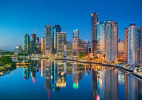
The 2023 Queensland Geospatial Conference & Awards Dinner will be held in Brisbane on Friday, 20 October 2023.
The conference will be a chance for the Queensland geospatial community to learn about the latest projects and research, connect with colleagues and see the latest technology from local suppliers. The conference will be followed by the awards dinner.
Presentation abstract proposals are being accepted until Monday, 28 August.
Image credit: ©stock.adobe.com/au/rudi1976


