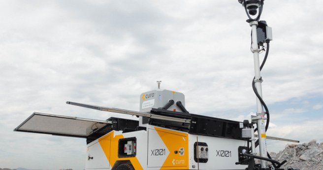
A comprehensive report from Airservices Australia has unveiled insights into the future of drone operations...
About Spatial Source
-
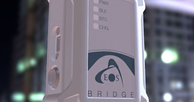
While there are still devices incompatible with iOS, Eos Positioning Systems (Eos) continues to...
2022-02-02
Handling large mapping projects, meeting deadlines and delivering high-quality results are typical challenges...2021-11-02
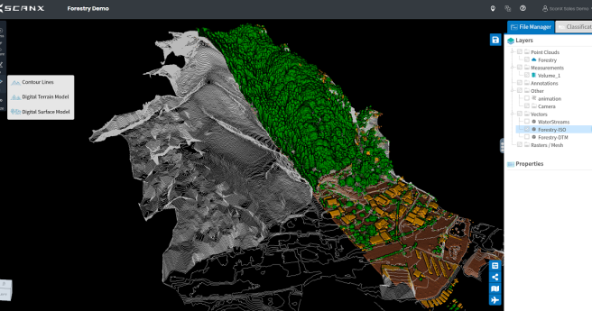
Software start-up ScanX offers a new cloud-based platform to upload and automate surveyors’...2021-04-27
ADVERTISEMENTFor effective business decisions making, asset protection and customer communication. For a demo...2013-02-19
The Lockyer Valley west of Brisbane is experiencing floodwaters in some...2013-02-01
In conjunction with the German Aerospace Centre (DLR) and CRC for Spatial Information,...2013-02-01
Land Surveys is now fully operational with the latest innovation in surveying technology,...2013-02-01
National Geographic Maps and Avenza Systems have joined in an alliance to offer...2013-02-01
The rise of smartphones means that sophisticated spatial...2013-02-01
The Australian Transport Safety Bureau has concluded its investigation into the crash of a...2013-01-28
CSIRO scientists have invented a new 3D mapping technology, Zebedee, giving researchers...2013-01-22
A recently launched, location-based Emergency Alert system has “performed well” in Victoria during...2013-01-22
The state government of Queensland recently launched an open data portal, Queensland Government...2013-01-22
A new collaborative European project seeks to empower citizens to collect and contribute...2013-01-22
Researchers from Boston University have invented a unique way of using LED lights...2013-01-22
NASA's Landsat Data Continuity Mission (LDCM) is scheduled to launch February 11...2013-01-22
The Open Geospatial Consortium (OGC), in cooperation with Directions Media, is organising an...2013-01-22
What a Summer, eh? The world is definitely getting hotter, and, as such,...2013-01-22
GeoNext 2013 will be here next month, and the excitement is building....2013-01-16
Newsletter
Sign up now to stay up to date about all the news from Spatial Source. You will get a newsletter every week with the latest news.
© 2026 Spatial Source. All Rights Reserved.
Powered by WordPress. Designed by


