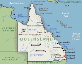
The state government of Queensland recently launched an open data portal, Queensland Government Data, which gives the public free access to 73 datasets, under categories such as government, public safety, education, transportation and health.
‘Public safety’, for example, contains datasets on crime statistics from the police department, requests for help to State Emergency Service, and current bushfire incidents (which is updated every 30 minutes) from Queensland Fire and Rescue.
“Our open data scheme is about providing a level of access to information across the government that has never been seen in Queensland before,” Premier Campbell Newman said in a statement. “This is data that is owned by Queenslanders and we believe it should be available to everyone.”
The release of government data is expected to support the development of innovative solutions by individuals and private organisations to problems faced in the state, and help make government more transparent and accountable to the community.
“We fully expect to see this information used in the development of new applications that will create opportunities for businesses and help people across the state,” said Newman.
According to a timeline on the open data website, each core departmental agency will publish an open data strategy, including a roadmap to release datasets, by April 2013, and statutory bodies by October.


