

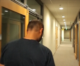
Researchers from Boston University have invented a unique way of using LED lights to transmit location information to mobile devices within buildings.
Researchers Dan Ryan and Aaron Ganick’s start-up, ByteLight, is based entirely around proprietary software that can accurately map the inside of buildings using only LED lighting to transmit location information. So, with the trend toward LED lighting replacing fluorescents in many buildings throughout the world, and the continued growth of mobile smart devices, LED lights that broadcast location data can help consumers interact within shopping malls, museums, trade shows, office buildings, factories and even airports and airplanes.
Each ByteLight-enabled LED light broadcasts a proprietary signal that a smart device camera can detect. ByteLight’s platform delivers location information to easily update visitors with real-time maps and related location-based information without an active network connection. ByteLight administration features even enable building staff to analyse visitor traffic patterns and measure engagement.
Rather than creating an open standard, ByteLight’s firmware must be licensed to LED manufacturers, who then embed the ByteLight technology directly into the LED lamp as it is being manufactured. ByteLight recently licensed LED manufacturer, Solais, to produce ByteLight-enabled LED lighting for commercial and enterprise building solutions.
For this application to be really powerful, however, the standard needs to be adopted by smartphone operating systems or major app developers (who wants to use anything other than Google Maps?), but, in the mean-time you’ll be able to download a ByteLight app that can be used wherever ByteLight technology is used. Hopefully, this app will be of comparable quality to other, already established, smartphone mapping apps.


