

Image credit: ©stock.adobe.com/au/David
The ACT’s Mapping and Planning Support (MAPS) volunteer program this week celebrates 15 years of service since its establishment following the devastating 2003 Canberra fires.
ACT Minister for Police and Emergency Services, Mick Gentleman, said the program has played a pivotal role in supporting day-to-day incident and major emergencies since.
“The MAPS volunteer program was developed to enhance the delivery of professional geographic systems and location technology support during large scale emergencies,” Minister Gentleman said.
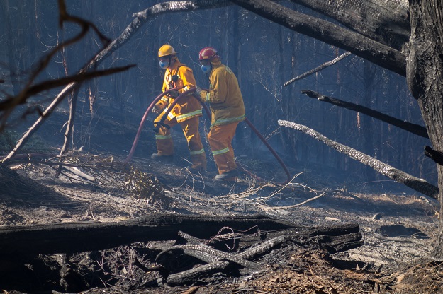
“MAPS volunteers have provided mapping and location support for large-scale emergencies across Australia such as the 2009 Black Saturday Fires in Victoria, 2010-12 Queensland Flooding, 2011 Cyclone Yasi, major bushfires across ACT and NSW, and recently the COVID-19 disaster response.”
Fifteen years ago, two of the founding MAPS volunteers embedded themselves into the Australian Capital Territory Emergency Services Agency’s (ACTESA) pre-emptive Incident Management Team (IMT) managing three days of consecutive total fire bans.
Their knowledge and support capability resulted in MAPS becoming a vital part of ACTESA’s emergency management team.
ACTESA Commissioner, Georgeina Whelan, said mapping and location technologies underpin almost every incident response, from everyday navigation, to tracking a major bushfire or flood impact.
“Within the ACTESA there is a dedicated team of volunteer geo-spatial professionals that give their time and expertise behind the scenes, to support services on the front line,” said Commissioner Whelan.
“I would like to express my gratitude and thanks to all of our MAPS volunteers, your ongoing commitment and dedication over the last 15 years has resulted in a well-developed and professional volunteer service, providing much needed support to our front-line personnel.”
Stay up to date by getting stories like this delivered to your inbox.
Sign up to receive our free weekly Spatial Source newsletter.


