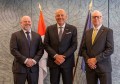
Almost two dozen government officers and GIS and spatial practitioners from across the Pacific convened to boost environmental action.
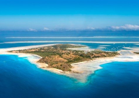
More than most, the island nations of the Pacific are facing the kind of ‘perfect storm’ that is now being referred to as a ‘triple planetary crisis’ — biodiversity loss, climate change and pollution.
At the forefront of efforts to tackle these problems are the nations’ geospatial and environmental professionals, 21 of whom recently gathered in Nadi in Fiji for a five-day training program in GIS techniques and environmental data management.
The event attracted delegates from the Cook Islands, Federated States of Micronesia, Fiji, Kiribati, Palau, Papula New Guinea, Republic of the Marshall Islands, Samoa, Solomon Islands, Tonga and Tuvalu.
“You are all here today in our joint endeavours to confront the urgent environmental issues that impact our region and the global community,” said Mr Sefanaia Nawadra, Director General of the Secretariat of the Pacific Regional Environment Programme (SPREP).
“GIS and the Pacific Environment Portal are some of the tools that help to management environmental data to inform, safeguard, engage, educate, raise awareness, change behaviours, and influence policies, planning and decision making at all levels while helping to bridge the gap between science, technical assessment and policy action.”
Pacific professionals boost their QGIS skills
The training forum followed a carefully sequenced curriculum that built from foundational knowledge acquisition through to practical applications and peer-to-peer collaborations, leading to skills that participants can use to strengthen environmental governance in their respective countries.
The forum tackled issues that are of particular concern to geospatial professionals in the Pacific, such as fragmented data systems, uneven technical capacity across the region and a lack of standardised protocols.

Participants also boosted their practical skills in using QGIS, the widely used free and open-source GIS software.
“Building confidence in QGIS fundamentals such as working with points, lines and polygons, managing attribute tables, applying symbology, producing map layouts and running analysis tools will enable practitioners to transform environmental observations into usable maps and decision-support products,” said Ms Kasaqa Tora, Spatial Analysis Specialist with SPREP.
Building regional geospatial capacity
SPREP says that the kind of regional capacity building evident in the five-day training forum is an important part of its commitment to building stronger GIS capabilities that will improve environmental data management.
It also aims to promote the wider use of environmental data platforms such as the Pacific Environment Data Portal and the Pacific Islands Protected Area Portal.
“This will enable our Pacific islands to transform data into meaningful action,” said Ms Tora.
“The knowledge and practical skills gained this week will help countries strengthen planning, support informed decision-making and deliver more effective responses to the triple planetary crisis.”
Related reading:
Pacific experts gather to discuss LiDAR needs
Advancing geospatial strengths in the Pacific
Geospatial training for Solomon Islands officials