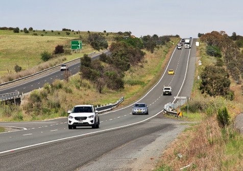
Newly released data provides insights into vehicle movements right across Victoria.
Geospatial experts whose work involves analysing traffic patterns, will welcome the release of new data from the Victorian Department of Transport and Planning (DTP).
The Telemetry Traffic Counts and Vehicle Classification dataset was released a few days ago, and holds a wealth of information for planners, analysts and developers.
According to the DTP, the new dataset “provides aggregated vehicle counts collected from telemetry-enabled traffic monitoring locations across Victoria, offering valuable insights into traffic volumes, travel patterns and vehicle movements on the road network”.
As well as traffic count information, the dataset also provides data on:
- Journey data and time
- Travel direction
- Vehicle classification
- Vehicle speed
- Location
According to the DTP, the data will be of use for researchers, transport planners, business analysts and land developers who are involved in:
- Understanding traffic volumes and trends across Victoria
- Monitoring the movement of different vehicle types
- Supporting transport planning and infrastructure investment decisions
- Conducting research into road network performance and travel behaviour
- Developing data-driven products, services and visualisations
The dataset spans vehicle movements from right across Victoria.