A special webinar on Thursday this week will canvass and discuss advanced hyperspectral imaging technologies and their applications.
Titled ‘NASA JPL: Airborne Visible Infrared Imaging Spectrometer (AVIRIS) Mission to Oz: Hyperspectral Earth Observation for Ecosystem Science,’ the webinar should be of great interest to the Australian Earth observation community.
The joint event is a collaboration between NASA’s Jet Propulsion Laboratory (JPL), CSIRO, Earth Observation Australia and the NSW Space Research Network.
Two special guest speakers from JPL will join the webinar: Dr Robert O. Green (Director, Microdevices Laboratory, Senior Research Scientist), and Dr Dana Chadwick (Earth System Scientist).
Dr Green will share his more-than-25-years of experience in developing advanced imaging spectrometer instrumentation for Earth missions, while Dr Chadwick will provide insights into using hyperspectral imaging and LiDAR to understand ecosystem interconnections and landscape evolution.
When: 10:00am AEDT, Thursday, 26 February
Duration: 1 hour
Register: Online
AVIRIS is an optical sensor payload that provides calibrated images in 224 contiguous spectral bands, covering wavelengths from 400 to 2,500 nanometres.
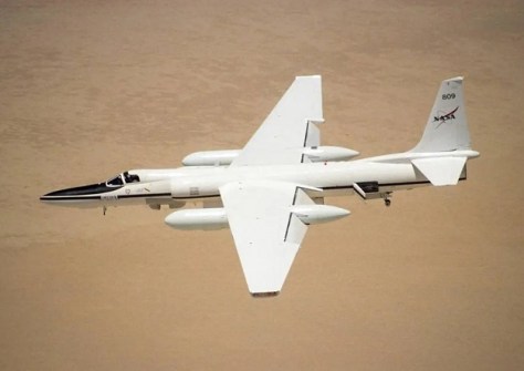
An airborne sensor, AVIRIS has been flown aboard four platforms: a high-flying NASA ER-2 jet, a Twin Otter commuter-style aircraft, the Scaled Composites’ experimental Proteus, and NASA’s WB-57 jet.
According to NASA, research conducted with AVIRIS data is mainly focused on understanding processes related to the global environment and climate change.