

Users of the current GEBCO download application should take note that it will be updated at the beginning of February 2026.
GEBCO has announced that it is replacing the current application with a beta release app, which is available at https://betadownload.gebco.net.
The URL for the download app will remain https://download.gebco.net.
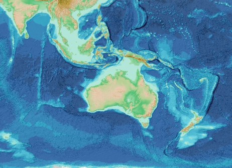
In addition to access to bathymetric data for user-defined areas from GEBCO’s global 15 arc-second interval and polar projection grids, the new application enables users to explore and download multi-resolution bathymetry data for selected regions in the waters surrounding Australia, New Zealand and the Hawaiian Islands.
The global gridded bathymetric data sets are terrain models for ocean and land. Data are available in NetCDF, GeoTIFF and ASCII formats.
GEBCO, the General Bathymetric Chart of the Oceans, comprises an international group of experts in ocean mapping who develop a range of bathymetric data sets and data products.


