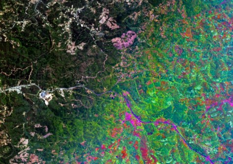
Two companies with hyperspectral satellite Earth observation capabilities have signed a deal to leverage each other’s imagery to provide customers with data tailored for environmental applications.
Canadian company, Wyvern, and Lemu, a Chilean ‘NatureTech’ startup, say the agreement will “enhance commercial access to hyperspectral imagery across multiple industries”.
The partnership will combine the strengths of Wyvern’s Dragonette satellite constellation —which, it claims, provides the highest-resolution commercial hyperspectral imagery from space — and Lemu’s Nge hyperspectral satellite, which it says is the world’s first to be exclusively dedicated to biodiversity observation.
The firms say the collaboration will be of interest to companies operating in the mining, energy, agriculture, forestry and environmental management sectors.
Specifically, they hope it will assist with monitoring and managing natural resources more effectively, while also helping to bridge the existing ‘nature data gap’ in the Southern Hemisphere.
As part of the agreement, Lemu will procure Wyvern’s hyperspectral imagery to enhance the data capabilities of Atlas, Lemu’s nature intelligence platform.
In turn, Wyvern will task the Lemu Nge satellite when excess imaging capacity exists, maximising the efficiency of data collection and delivery across the globe.
“The demand for hyperspectral imagery far outweighs the supply, and the more organisations that understand and use this technology, the better,” said Tom VanMatre, Wyvern’s Chief Revenue Officer.


