

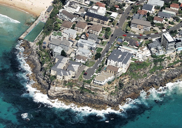
Image courtesy Vexcel Data Program
Vexcel has announced that, through its Vexcel Data Program, it will now provide free access to aerial imagery for government and commercial users in Australia and New Zealand through its web-based platform, Viewer.
Announcing the initiative at the Locate23 conference in Adelaide, Ryan Bank, Managing Director of the Geospatial Insurance Consortium (an insurance industry partnership between the US National Insurance Crime Bureau and Vexcel), said that “It feels like the right thing to do,” adding that all of the imagery will be available for free — “no cost, no strings attached”.
Bank said that “we look around and we think that there are so many potential partners – analytics companies, AI teams. Australia and New Zealand have been on the forefront of geospatial technology basically forever. We want to encourage additional use. So we think that by democratising access to the highest quality imagery, the industry will figure out new applications for it.”
“This is our priority market,” he added. “To be able to now find a way, a path forward, to be able to make it [the data] available to literally everyone in the country, I think it’s really going to open up things for the future of geospatial technology.”
Vexcel’s high-resolution aerial imagery covers 80% of the population in Australia and 56% in New Zealand.


