Image courtesy Spiral Blue.
Australian-built computers designed to process raw remote sensing imagery will fly in space in the second half of 2021.
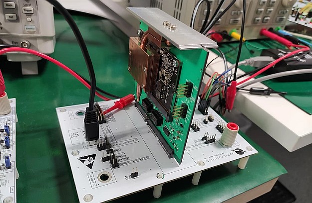
The Space Edge Zero (SEZ) prototype computers, developed by Sydney-based Spiral Blue, will be carried into orbit aboard Polish satellite manufacturer SatRevolution’s STORK-4 and STORK-5 satellites.
SEZ is a prototype system that aims to test in-orbit processing of raw satellite imagery prior to being transmitted to the ground.
The equipment is currently in Poland undergoing final integration with the satellites, which are slated for launch no earlier than June 2021 aboard Virgin Orbit’s LauncherOne rocket.
STORK-4 and STORK-5 will be inserted into a sun-synchronous orbit with an altitude of 400 to 500 kilometres.
Each satellite is equipped with an optical system that can capture multispectral images at 5-metre resolution.
Following post-launch qualification, testing of the SEZ units will commence in the fourth quarter of 2021 and continue into 2022.
“We intend to test a variety of algorithms on these images, including machine learning-based algorithms such as Vessel Detect and Canopy Mapper,” Spiral Blue’s CEO, Taofiq Huq, said.
“This gives us the opportunity to do a full end-to-end test of space edge computing from both a technological and commercial perspective — taking images, processing them and delivering the processed data.”
The development of Spiral Blue’s SEZ platform is being supported by a recently awarded Australian Space Agency Moon to Mars Supply Chain Capability Improvement Grant, while the Vessel Detect feature is being developed under a Defence Innovation Hub contract.
Stay up to date by getting stories like this delivered to your inbox.
Sign up to receive our free weekly Spatial Source newsletter.