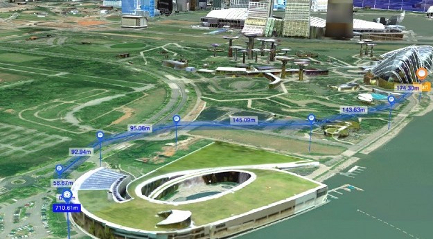
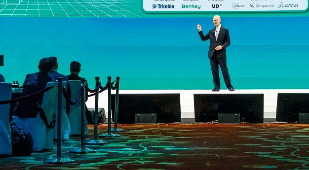
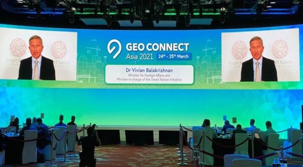
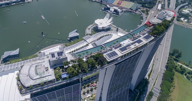
Singapore has outlined key initiatives for geospatial-enabled outcomes to improve lives and solve...
singapore
-
Airborne LiDAR and high-resolution aerial images will boost ground-based forest carbon estimation analyses.
2022-10-11
Researchers will use GNSS data from the Singapore Satellite Positioning Reference Network, plus...2022-06-23
The Asia Climate Forum returns in April 2022 as a face-to-face event under...2022-02-11
ADVERTISEMENTThe Singapore Land Authority to work with property agencies to improve hyperlocal and...2022-01-19
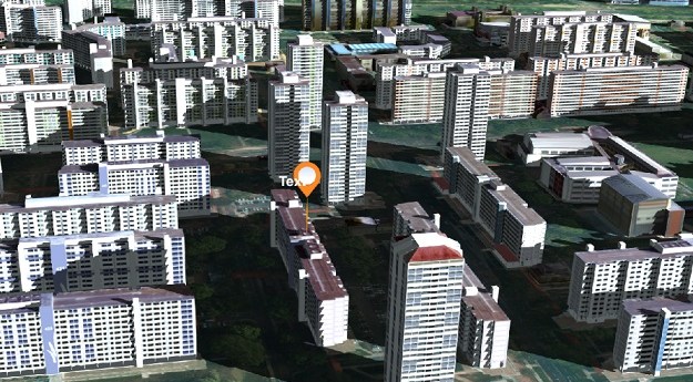
OneMap3D aims to enhance geospatial capabilities and provide new solutions for business, government...2021-09-22
A packed program of virtual events and presentations will see international experts gather...2021-09-07
The hybrid in-person and virtual event aims to attract more than 80 exhibitors...2021-07-28
Southeast Asia’s inaugural geospatial event attracted delegates, speakers and exhibitors from 55 countries.2021-03-30
The inaugural geospatial event gets started in Singapore, combining in-person and online sessions.2021-03-24
Geo Connect Asia 2021 will combine plenary sessions and conferences in a hybrid...2021-03-02
Geo Connect Asia will take place as a hybrid event on March 24th...2021-02-03
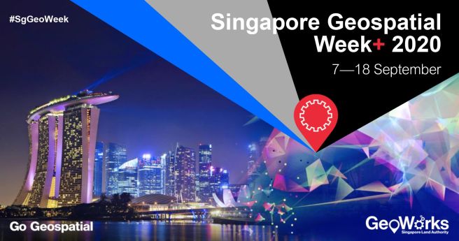
The event stretches to two full weeks of webinars in a special virtual...2020-09-04
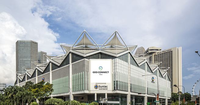
Southeast Asia’s inaugural geospatial event now set to take place on 24-25 March...2020-06-24
Australian billionaire funds biggest ever solar farm, to power Darwin and Singapore.2019-10-09
Four Australian infrastructure projects have made the cut for Bentley’s YII 2019.2019-08-14
Spatial Source’s fortnightly round-up of the best in cartography, spatial analysis and creative...2018-08-01
The Esri Asia Pacific User Conference recently celebrated the achievements of GIS in...2013-11-19
Singapore is making a major push to develop its satellite and space technology...2013-02-26
Newsletter
Sign up now to stay up to date about all the news from Spatial Source. You will get a newsletter every week with the latest news.
© 2025 Spatial Source. All Rights Reserved.
Powered by WordPress. Designed by


