

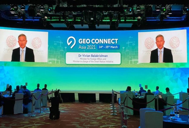
Geo Connect Asia 2021, Southeast Asia’s inaugural geospatial event, attracted delegates, speakers and exhibitors from 55 countries across two days this week.
Held at the Marina Bay Sands hotel on 23 and 24 March, the event was Singapore’s first large hybrid event of 2021, with attendees taking part both in person and online.
Organisers went to great lengths to ensure all participants and staff were safe and following the required health protocols, which included administering rapid antigen tests on both days of the conference.
“Two years in the making, Geo Connect Asia 2021 has navigated significant disruption and uncertainty before making our much-anticipated debut in Singapore this year,” said Rupert Owen, Co-founder of Geo Connect Asia.
“This was possible due in no small part to the strong support from our many like-minded partners from both the public and private spheres, with Singapore Land Authority’s (SLA) and Singapore Tourism Board’s (STB) support, in particular, proving instrumental in guiding the development of a world-leading hybrid platform for the geospatial and location intelligence markets in Asia,” he added.
Owen also paid tribute to the support received from sponsors and partners, especially Platinum Sponsor Trimble, Gold Sponsor Bentley Systems, Silver Sponsor UP42, and Conference Sponsors Planet Labs, Synspective, and Dassault Systèmes.
The conference covered a wide variety of topics, including:
- Smart transportation for dynamic urban landscapes
- Transforming the dynamics of connected infrastructure planning
- Accessible data for the future of geospatial planning
- Building resilience and sustainability into ASEAN geospatial planning
- Harnessing the power of satellite imagery for a sustainable future
- Smarter infrastructure for sustainable cities
- Putting 5G to work: Intelligent use cases
A number of Australian experts gave presentations, including:
- Phil Christensen, Vice President, Digital Cities, Reality Spatial Modeling at Bentley Systems, who took part in the discussion on the role of digital twins in infrastructure planning;
- Dr Lesley Arnold, Director of Geospatial Frameworks & President-elect at the Surveying and Spatial Sciences Institute, who spoke about a future enabled by machine readable data; and
- Dr Mehdi Ravanbakhsh, Chief Executive Officer at Mapizy, who outlined methods of mine rehabilitation assessment using satellite images and machine learning.
“Geo Connect Asia 2021 has been a success, and will hopefully be the catalyst not only for the geospatial industry evolution across Southeast Asia, but also for the inevitable recovery of the resilient MICE [meetings, incentives, conferences and exhibitions] industry,” said Owen.
The event was backed by Singapore’s Ministry of Trade and Industry, the Singapore Tourism Board, Singapore Land Authority, Economic Development Board and Infocomm Media Development Authority.
GCA 2021 also encompassed the Digital Construction Asia 2021 and Unmanned Aerial Vehicle Asia 2021 events, at which a range of geospatial and location intelligence applications for governments and enterprises was on show.
The next Geo Connect Asia event will be held on 23 and 24 March 2022, with organisers planning for it to be a much bigger event with more speakers and exhibitors in what will by then be, hopefully, a less COVID-affected world.
Stay up to date by getting stories like this delivered to your inbox.
Sign up to receive our free weekly Spatial Source newsletter.


