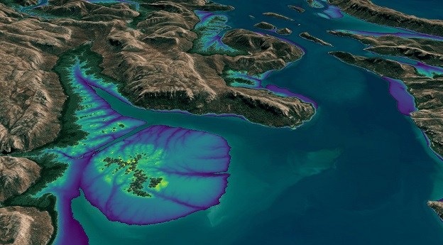
Annual 10m high-resolution maps are now available in Esri’s Living Atlas of the...
Sentinel-2
-
Incorporating Landsat and Sentinel-2 data, it provides an annual 10m elevation product of...
2024-04-11
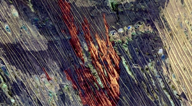
Sentinel-2 imagery plus machine learning will produce high-quality, state-wide maps of fire-affected areas.2021-11-25


