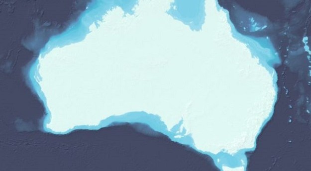
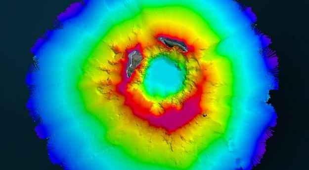
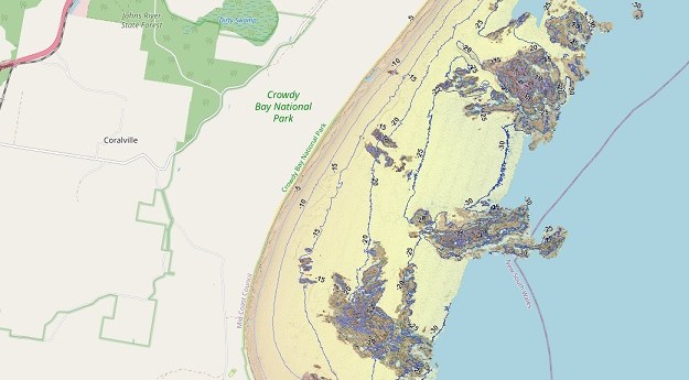
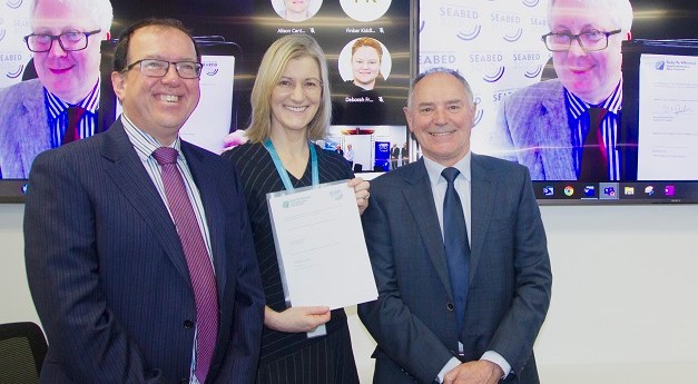
More than 1,500 individual surveys have been combined to reveal the seafloor surrounding...
seabed
-
Teledyne CARIS joined with Seabed 2030 to study the submarine impacts of a...
2022-10-05
The SeaBed NSW map viewer captures the state’s entire coastline at depths of...2022-06-08
3D seafloor data will be captured within 5 km of the shore and...2021-11-01
ADVERTISEMENTThe project aims to compile all bathymetric data into a freely available map...2021-07-26
Newsletter
Sign up now to stay up to date about all the news from Spatial Source. You will get a newsletter every week with the latest news.
The geospatial sector is set to both underpin the metaverse ...
The 10-year project aims to improve infrastructure delivery,...
March 21 is the day on which we celebrate the essential work...
UAV users can now easily see whether they need to obtain aut...
SimActive has announced improved cloud environment enhanceme...
© 2024 Spatial Source. All Rights Reserved.
Powered by WordPress. Designed by ![]()


