Before You Dig Australia has integrated the Look Up and Live tool with...
safety
-
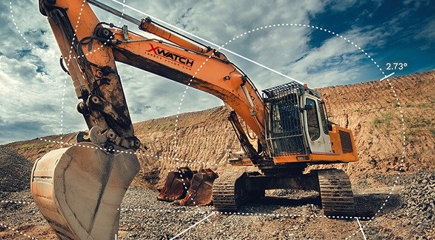
XWatch products are used to improve safety in the construction, mining and transportation...
2022-08-25
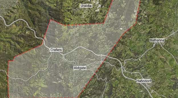
Aerometrex has produced bushfire fuel load maps of the Adelaide hills, to aid...2022-03-10
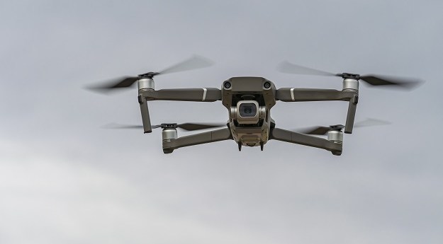
CASA has announced the release of five new verified drone safety apps for...2021-11-15
ADVERTISEMENTThe combined product suites will integrate traffic management and UAV mitigation.2019-07-24
Edie is one of the women behind Free To Be, a crowdsourced map...2019-02-19
A detailed account of the steps to attaining your Remote Pilot’s Licence (RePL)...2018-11-21
US researchers have crashed a quadcopter into an aircraft wing with dramatic results.2018-10-23
Drone pizza; UAV danger; 7″ 3D scanner; MH370 data; WW2 StreetView; value of...2014-05-27
Newsletter
Sign up now to stay up to date about all the news from Spatial Source. You will get a newsletter every week with the latest news.
© 2026 Spatial Source. All Rights Reserved.
Powered by WordPress. Designed by


