

Image credit: ©stock.adobe.com/au/mityru
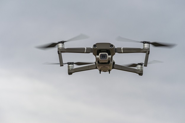
CASA has announced the release of five new verified drone safety apps for Australian operators.
The CASA-verified safety apps and web applications provide location-based information along with maps showing where operators can and can’t fly, according to CASA’s drone safety rules.
They can also help commercial operators with planning, getting an airspace authorisation near a controlled aerodrome, and conducting and recording operations.
The full range of drone safety apps are provided by Aerologix, AIRPASS, AirMap, AVCRM, FlyFreely, Avsoft, Wing Aviation and ANRA Technologies. They can be found on the Know Your Drone website.
Some of the apps are suitable for ReOC holders, Excluded RPA operations and Recreational operations, while others are suitable for subsets of those three categories.
Meanwhile, public consultation on proposed amendments to drone regulations closes on 18 November 2021.
The proposed amendments, include:
- Changing the date of recreational drone registration and operator accreditation from 1 March 2022 to 1 July 2022
- Aligning the registration term for recreational drones to the same 12-month registration period as commercial drones
- Reinforcing that a person cannot sit the operator accreditation quiz, or hold an operator accreditation, until they are at least 16 years old
- Changing the transitional registration incentive period to follow the new commencement date
- Removing the requirement to register certain aircraft.
Submissions can be made via the CASA Consultation Hub.
Stay up to date by getting stories like this delivered to your inbox.
Sign up to receive our free weekly Spatial Source newsletter.


