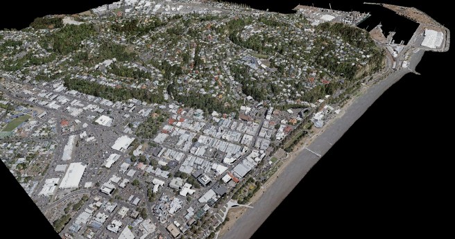
Partnered firms will scan over 38,500 square kilometres between the two projects.
LiDAR
-
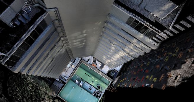
Emesent has announced new functionality for its Hovermap SLAM LiDAR scanners.
2020-06-09
The Intelligent Transport Systems Asia Pacific Forum will now be held on April...2020-05-04
Blue Marble has updated and improves its versatile GIS platform and point cloud...2020-03-03
ADVERTISEMENTTeledyne Optech’s latest aerial LiDAR scanner leverages its compact proportions to allow dual...2019-09-24
A MangoMaps extension, LiDAR module upgrades and Pro versions of the mobile app...2019-09-18
The ZEB Discovery adds a NCTech iStar Pulsar camera and backpack to the...2019-09-18
CR Kennedy has a range of multi rotor and fixed wing solutions for...2019-09-18
Trimble’s SiteVision AR system and X7 laser scanning system lob ahead of INTERGEO.2019-09-17
Woolpert and iXblue have joined forces to bolster their aerial survey services in...2019-09-10
The road to Australia’s autonomous transport future. An exclusive feature from Position magazine.2019-07-23
Professor Michael Milford is recognised for pioneering work.2019-06-19
Leica’s Cyclone 3DR offering harnesses 3DReshaper’s processing capabilities.2019-06-19
French UAV-borne LiDAR specialists launch in house point cloud processing suite.2019-06-12
Dive deep into absolute positioning for autonomous transport, an exclusive from Position magazine.2019-06-05
New features automatically highlight terrain features to assist analysis.2019-06-05
A range of new sensors and tailored RPA solutions launched at the gargantuan...2019-05-08
LiDAR mapping of an icy lava tube in Iceland is a trial for...2019-03-21
Maptek’s newest ground stability monitoring system can operate continuously down to -20 degrees.2019-03-12
RIEGL expands global presence in Australia and Oceania with new office focused primarily...2019-01-31
Newsletter
Sign up now to stay up to date about all the news from Spatial Source. You will get a newsletter every week with the latest news.
© 2025 Spatial Source. All Rights Reserved.
Powered by WordPress. Designed by


