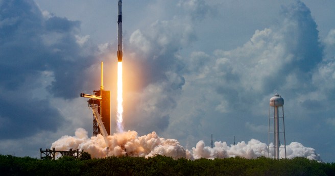
Once fully operational in a few months, the two spacecraft will bring the...
ESA
-
The ESA Scout mission will use GNSS reflectometry to measure and monitor global...
2025-12-10
The funding through ESA is on top of £471m allocated to ESA EO...2025-12-02
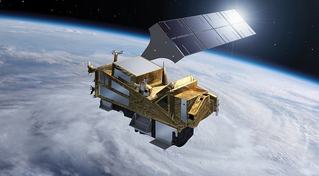
Sentinel-6B is equipped with an improved dual-frequency radar altimeter and microwave radiometer.2025-11-19
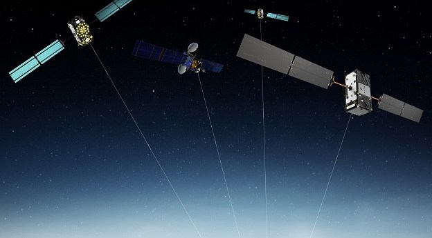
ADVERTISEMENTESA has signed contracts totalling €1.47 billion for 12 new Galileo Second Generation...2021-06-02
Billed as the world’s biggest Earth observation conference, the ESA-led event will be...2021-06-01
You’re invited to join an Earth Observation Dashboard Hackathon to help solve COVID-19-related...2021-05-24
More than $1.3m is up for grabs in this international competition based on...2021-05-05
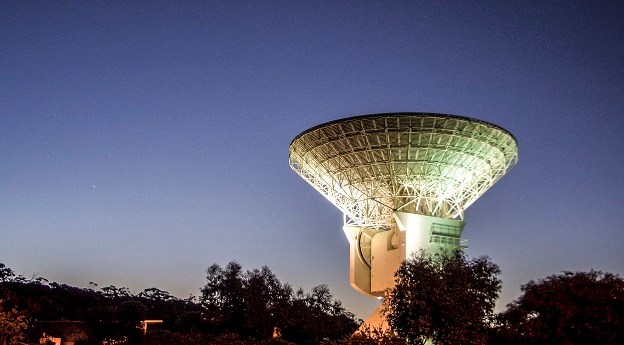
The $70 million dish will be built in cooperation with the Australian Space...2021-05-03
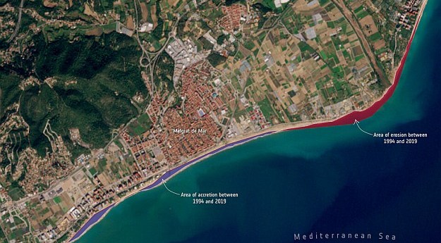
Almost 3,000 km of the coastline of four countries has been mapped in...2021-04-06
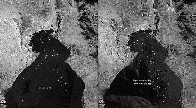
Sentinel-1 images show shipping backing up in the Gulf of Suez after the...2021-03-29
Spatial Source’s fortnightly round-up of the best in cartography, spatial analysis and creative...2020-08-05
Spatial Source’s fortnightly round-up of the best in cartography, spatial analysis and creative...2020-07-22
With all of Earth’s challenges this year, space can feel like an afterthought...2020-07-08
Analysis of 25 years of ESA satellite data reveals an accelerating loss of...2018-12-11
The highest-resolution atmospheric data collected from space is now being incorporated into forecast...2018-07-25
The fetch rover will collect soil samples obtained by the 2020 mission and...2018-07-10
SpaceDataHighway is an orbiting, laser-driven relay system for satellite and UAV-derived data.2018-05-21
Open Geospatial Consortium seeks input on a proposed working group to define EO...2018-05-14
Aeolus will provide near-realtime data on global wind patterns.2018-02-13
Newsletter
Sign up now to stay up to date about all the news from Spatial Source. You will get a newsletter every week with the latest news.
© 2026 Spatial Source. All Rights Reserved.
Powered by WordPress. Designed by


