The federal government has selected ICEYE to supply flood and bushfire data for...
disaster management
-
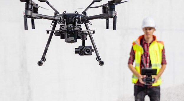
Increased use of drone technologies, particularly in disaster relief, promise a big boost...
2023-04-21
Discussions on opportunities for geospatial companies in helping achieve the SDGs was a...2019-04-11
The 2018 PTHA includes data for over half a million earthquake-tsunami scenarios, with...2018-11-07
ADVERTISEMENTQueensland’s Banana Shire Council have used GIS to transform their response to flood...2018-04-26
After storms thrashed Australia’s east coast, lessons from a much bigger storm become...2016-06-07
The Australian Rainfall and Runoff guidelines now considers climate change and El Niño.2015-12-15
Spatial technologies will prove critical to solving the world’s problems, according to Brett...2015-11-24
Last week’s 8.3 magnitude earthquake proved the value of disaster resilience and forward...2015-09-22
The Victorian DELWP has won international praise for its FloodZoom intelligence platform.2015-09-15
The 2016 Disaster and Emergency Management Conference will visit the Gold Coast during...2015-09-15
How a small team of UNSW researchers successfully predicted the second major earthquake...2015-08-04
FIG is calling for papers to fill the preliminary program for the Christchurch...2015-07-14
Australian app Guardian Evacuations has won a United Nations competition for disaster management.2015-05-05
HOT is crowd-sourcing maps to support rescue efforts in Nepal after the Kathmandu...2015-04-28
Help Nepal; Earth Day maps; Dronefail; GPS’s 20th; Android v Apple.2015-04-28
The 2015 ANZ Disaster and Emergency Management Conference will be held on the...2014-12-02
End of Street View; real-time parking; automated disaster response; what the world wants...2014-01-21
Two exciting speakers and a pre-show forum have been announced for GeoNext 2014.2013-12-10
Disaster management agencies have joined forces to better access and interpret disaster info.2013-12-03
Newsletter
Sign up now to stay up to date about all the news from Spatial Source. You will get a newsletter every week with the latest news.
© 2025 Spatial Source. All Rights Reserved.
Powered by WordPress. Designed by


