

Image credit: ©stock.adobe.com/au/Zstock
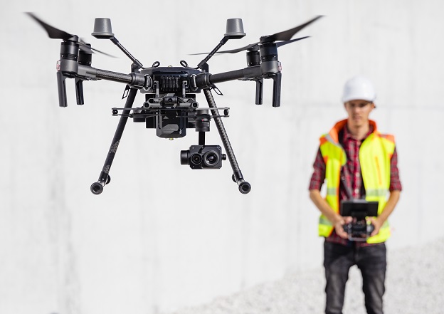
New research outlines the many ways in which drone technology is benefiting the Australian community, especially for those in rural regions and for emergency relief and disaster management.
The report (PDF), produced by iMOVE (a national centre for transport and mobility research) along with lead research partner the University of South Australia, gives a snapshot of the domestic drone sector as well as providing a comparison with other countries.
According to the report, industries that stand to gain the most from increased drone use include:
- emergency relief and disaster management
- security services
- freight and transport services
- agriculture
- last-mile deliveries
- recreation and entertainment
All of these use cases, as well as others, require geospatial data and location services for deriving flight paths, as well as for hazard avoidance purposes.
The report says that the emergency services sector has the potential to reap the greatest potential from drones, producing a net productivity boost of 10% and adding $460 million to the national economy.
Projections from the 2019–20 bushfire season indicate that the use of drones for early fire detection could lead to lead to savings of between $1-8 billion.
The report does say that some challenges remain, such as battery life limitations, resilience against adverse weather and air traffic management issues.
The research was jointly funded by the Australian Government (which contributed $100,000), iMOVE and the University of South Australia.


