Read our expert’s predictions for 2025, plus data visualisation, plans for resilient PNT...
data visualisation
-
Geoscience Australia’s new spatial exploration tool has won a Good Design Award for...
2024-09-25
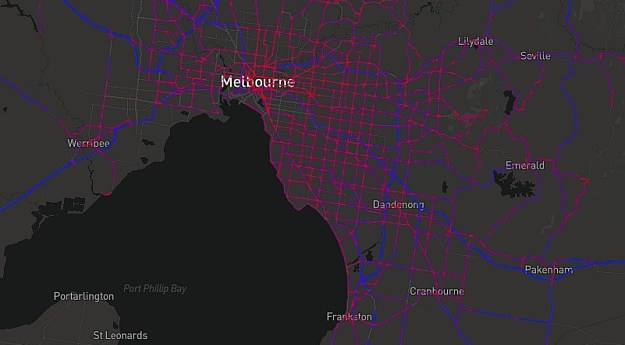
A prototype National Freight Data Hub website uses truck telematics to visualise road...2021-06-09
Spatial Source’s fortnightly round-up of the best in cartography, spatial analysis and creative...2021-02-03
ADVERTISEMENTSpatial Source’s fortnightly round-up of the best in cartography, spatial analysis and creative...2019-07-29
Mapping final 737 MAX flights, a modern day map of Westeros, gender equality...2019-03-27
Newsletter
Sign up now to stay up to date about all the news from Spatial Source. You will get a newsletter every week with the latest news.
© 2025 Spatial Source. All Rights Reserved.
Powered by WordPress. Designed by ![]()


