Launched at COP30, Digital Earth aims to use geospatial and other means to...
climate change
-
The open-source model has mapped emissions from buildings in cities such as Melbourne,...
2025-11-03
Combatting climate change, saving lives and building better societies are top of mind...2025-04-06
Two new research collaborations will drive geo-enabled solutions to address climate mitigation and...2025-03-05
ADVERTISEMENTAustralia’s most detailed regional climate projections are now mapped and available on NSW’s...2024-10-08
A case study of mangroves, coastal protection and accounting for Australia’s vast ocean...2024-01-02
A case study of mangroves, coastal protection and accounting for Australia’s vast ocean...2023-09-18
The SmartSat-led EO initiative will address the need to reduce risk and boost...2023-05-31
The initiative will be a forum for OGC efforts to support climate action,...2022-11-09
Geospatial’s role in delivering climate change solutions was on the agenda at the...2022-10-14
A new report looks at the capabilities of public, private and hybrid satellite...2021-11-17
Global mapping and geospatial agencies will outline how they can support policies dealing...2021-09-06
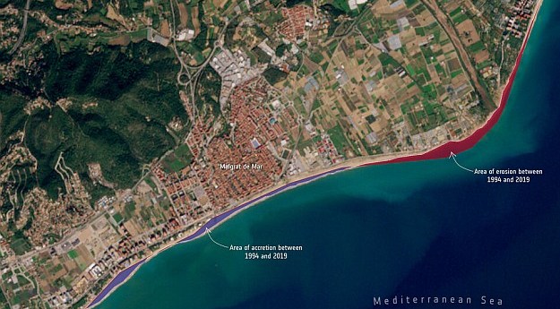
Almost 3,000 km of the coastline of four countries has been mapped in...2021-04-06
The US plan to stimulate its manufacturing sector and drive EV uptake leaves...2021-02-11
Australian researchers calculate just how big the impact is.2021-02-03
To keep cool in Australia, we urgently need a national planning policy.2021-01-19
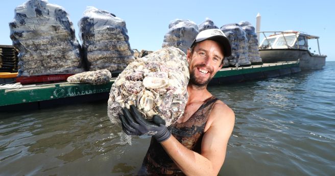
Strategy to vastly expand coastal ecosystem restoration for widespread benefits.2021-01-13
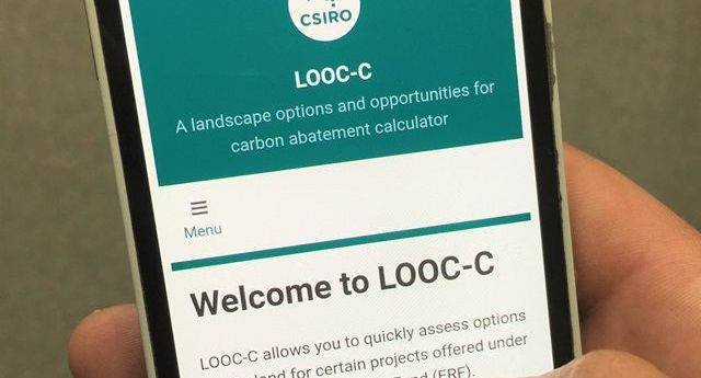
Updated LOOC-C tool now models soil carbon measurements and beef herd cattle management.2020-12-09
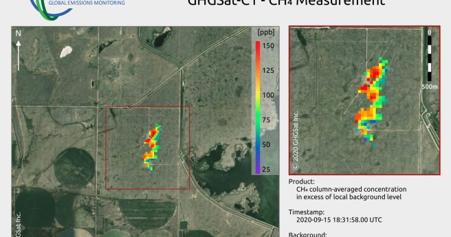
GHGSat-1 has detected the smallest ever methane emission to be detected from space.2020-10-26
World first study maps global carbon capture potential from forest regrowth in 1...2020-10-07
Newsletter
Sign up now to stay up to date about all the news from Spatial Source. You will get a newsletter every week with the latest news.
© 2025 Spatial Source. All Rights Reserved.
Powered by WordPress. Designed by


