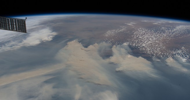
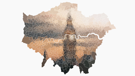
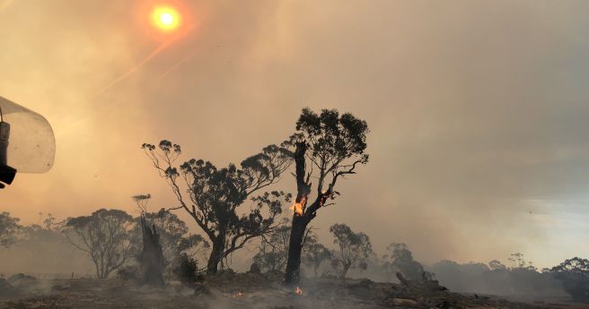
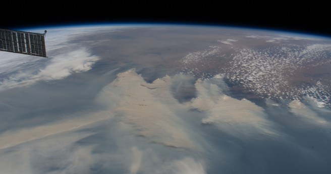
A new layer in the ArcGIS Living Atlas of the World links to...
bushfires
-
We’re celebrating the contributions of women in the geospatial sector. Here we discuss...
2025-03-04
The four Australian and New Zealand projects will focus on environmental and agricultural...2024-11-19
AI image processing aboard South Australia’s upcoming cube sat mission will advance bushfire...2024-06-05
ADVERTISEMENTAn automated vegetation detection and mapping system uses Google Street View, AI and...2023-03-15
The Digital Earth Australia Hotspots program uses near-real-time satellite imagery to detect and...2022-07-05
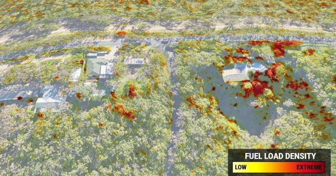
Aerometrex has produced bushfire fuel load maps of the Adelaide hills, to aid...2022-03-10
Sentinel-2 imagery plus machine learning will produce high-quality, state-wide maps of fire-affected areas.2021-11-25
Position’s final issue for 2020 reflects on a chaotic year: the challenges, triumphs...2020-12-02
Drones, detection dogs, poo spotting: the $2 million race to survey our koalas...2020-12-02
Australia’s official public emergency services app now locates triple zero callers using the...2020-11-18
Use your skills to help our firefighters by mapping static water infrastructure at this...2020-10-28
Highly accurate 3D fuel load calculation technology launches for 2020-21 bushfire season.2020-10-27
Use your skills to help our firies prepare for the 2020 fire season...2020-09-30
Sensors and satellites drive plan to detect, extinguish blazes within an hour by...2020-09-16
Spatial Source’s fortnightly round-up of the best in cartography, spatial analysis and creative...2020-08-17
The funding will transform the Bushfire & Natural Hazards CRC into a world-class...2020-07-29
Emergency communications need to consider space, time and user experience.2020-04-07
The latest edition of Position magazine addresses crisis response and other key issues.2020-03-10
GA is receiving two daily passes of satellite images from China to aid...2013-10-29
Newsletter
Sign up now to stay up to date about all the news from Spatial Source. You will get a newsletter every week with the latest news.
© 2025 Spatial Source. All Rights Reserved.
Powered by WordPress. Designed by


