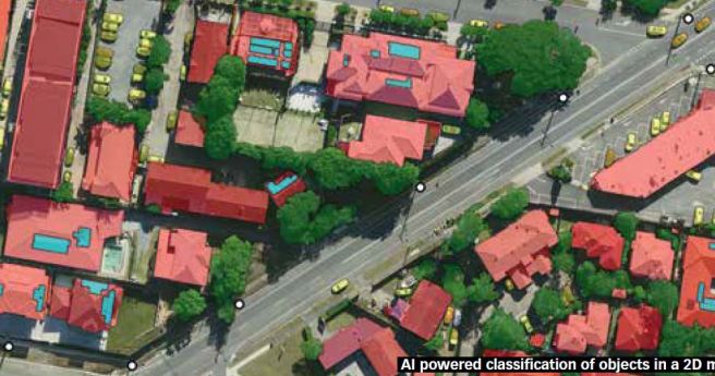
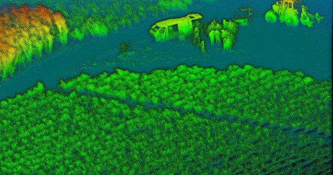
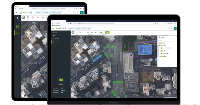
The use of AI in the geospatial sector is already paying dividends, but...
Artificial intelligence
-
Nearmap AI has expanded its offering, now delivering 11 new attributes and 200+...
2021-11-26
The program has a focus on machine learning and analytics for automated imagery...2021-07-13
Aerometrex is using supervised machine learning algorithms to differentiate between permeable and impermeable...2021-03-04
ADVERTISEMENTFemale entrepreneurs and innovators in Artificial Intelligence from Australia and New Zealand, take...2020-09-30
State hopes AI strategy will help generate thousands of tech jobs and deliver...2020-09-08
Microsoft AI platforms will power a raft of new CSIRO research projects.2020-06-22
Nearmap launches a suite of AI-driven analytics services alongside its existing imagery services.2020-06-02
SPH Engineering has announced a new AI-driven analytics platform for industrial asset inspection.2020-05-27
Huawei wins ‘Tech of the Future’ award for its class-leading AI cluster.2020-03-03
Artificial Intelligence is a key track in the programming of Australia’s premier technology...2019-10-18
For the first time, the relationship between wilderness areas and risk of extinction...2019-10-16
UTS Sydney’s CrocSpotter Ai algorithm seeks and IDs crocodiles with 93% accuracy and...2019-10-02
Research has found that a new approach to programming robots is needed for...2019-08-13
An Australian PhD student has used an AI-based system to detect fast radio...2019-08-06
Will we ever agree to just one set of rules on the ethical...2019-05-29
Partnership seeks to build scalable, high definition maps for use by autonomous vehicles.2019-05-01
CSIRO-owned entity opens purpose-built research facility for robotics and autonomous systems.2019-03-12
Forcite twists the throttle with a $1 million raise and $2.8 million total...2019-03-06
Google-commissioned report finds massive investment in uniquely human skills will be required in...2019-01-29
Newsletter
Sign up now to stay up to date about all the news from Spatial Source. You will get a newsletter every week with the latest news.
The geospatial sector is set to both underpin the metaverse ...The 10-year project aims to improve infrastructure delivery,...March 21 is the day on which we celebrate the essential work...UAV users can now easily see whether they need to obtain aut...SimActive has announced improved cloud environment enhanceme...© 2024 Spatial Source. All Rights Reserved.
Powered by WordPress. Designed by


