How Revolver Resources made its Dianne copper mine project more efficient with Mangoesmapping.
aerial survey
-
The WISDAM app uses aerial survey data to map animal detections to real-world...
2024-12-09
In the run up to the Locate conference in May, we’re highlighting some...2024-05-01
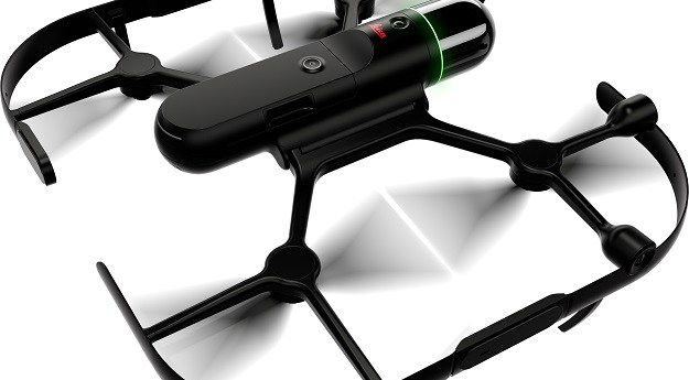
The Leica BLK2FLY is an autonomous flying laser scanner with built-in obstacle avoidance...2023-08-07
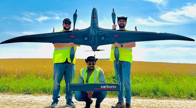
ADVERTISEMENTCarbonix’ Volanti drone is being flown by Aerial Vantage as part of a...2023-07-18
A ground-breaking aerial LiDAR survey has produced a wealth of valuable land-surface and...2023-01-16
The acquisition has been made in an all-cash scheme of arrangement valued at...2022-12-16
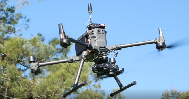
A new survey grade payload for DJI’s flagship.2020-07-01
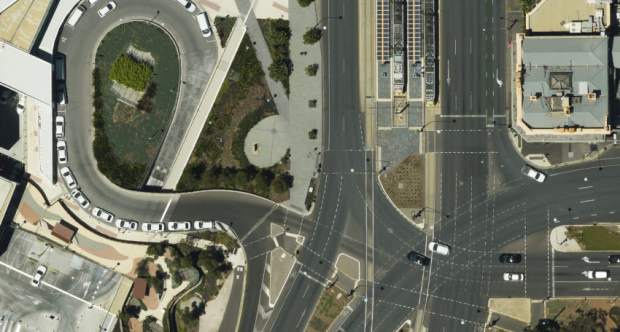
Aerometrex has announced a new COO and the expansion of its MetroMap capture...2020-06-29
Teledyne Optech’s latest aerial LiDAR scanner leverages its compact proportions to allow dual...2019-09-24
A MangoMaps extension, LiDAR module upgrades and Pro versions of the mobile app...2019-09-18
The new H520 RTK brings centimetre precision to Yuneec’s commercial grade hexacopter platform.2019-02-05
A detailed account of the steps to attaining your Remote Pilot’s Licence (RePL)...2018-11-21
The first in a series of #longread features on attaining RPAS certification in...2018-11-14
DJI’s new drone adds search and rescue modules, enhanced data security to compact...2018-10-31
Two Australian firms take top honours at Bentley’s #YII2018 awards.2018-10-23
A milestone for the Australian firm as it launches a New Zealand-specific product...2018-08-28
UAV service provider DroneDeploy has publicly released MapEngine, its cloud-based photogrammetry service.2018-08-22
NextCore scanner and processing system rivals big players at a fraction of the...2018-08-08
Newsletter
Sign up now to stay up to date about all the news from Spatial Source. You will get a newsletter every week with the latest news.
© 2026 Spatial Source. All Rights Reserved.
Powered by WordPress. Designed by


