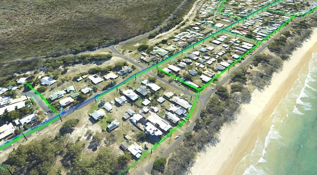
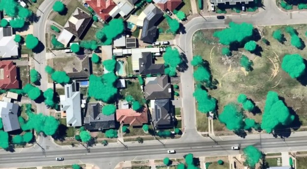
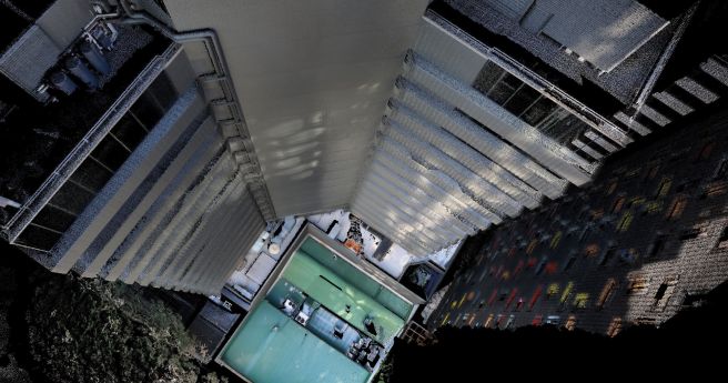
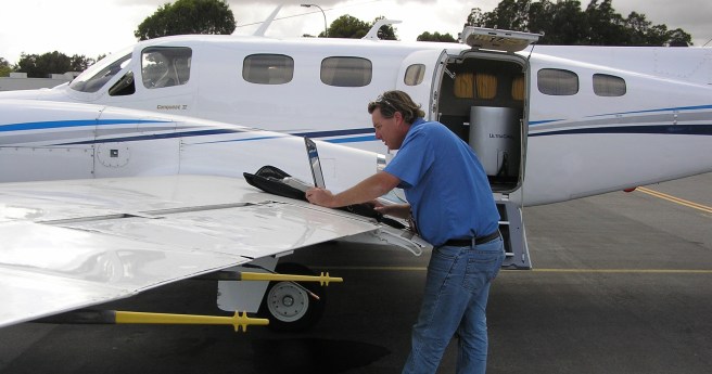
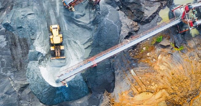
The solution will use LiDAR and aerial data capture report powerline conductor ground...
aerial capture
-
Backed by more than 100 years of geospatial innovation, the time has come...
2023-05-08
The company has completed the research and testing phase for its new HyperCamera3.2022-04-29
Phase One Industrial brings a new large-format nadir and oblique aerial camera system...2021-01-13
ADVERTISEMENTImpressive results for Aerometrex and its MetroMap product in the September quarter.2020-10-13
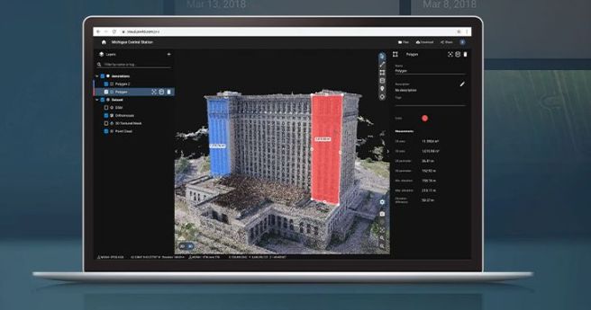
New ‘freemium’ service generates 3D models from massive point clouds with unlimited storage,...2020-07-13
Aerometrex has announced a new COO and the expansion of its MetroMap capture...2020-06-29
Partnered firms will scan over 38,500 square kilometres between the two projects.2020-06-18
Pix4D has launched two all-new cloud-based photogrammetry platforms.2020-06-10
Emesent has announced new functionality for its Hovermap SLAM LiDAR scanners.2020-06-09
Nearmap launches a suite of AI-driven analytics services alongside its existing imagery services.2020-06-02
Aerial imagery provider Aerometrex has acquired former competitor Spookfish for $1.5 million.2020-04-27
SimActive rolls out a new volumetric calculation workflow to its popular Correlator3D photogrammetry...2020-03-09
Teledyne Optech’s latest aerial LiDAR scanner leverages its compact proportions to allow dual...2019-09-24
Australia’s premier UAV conference comes in to land on September 26 and 27.2019-09-11
Spatial Source’s fortnightly round-up of the best in cartography, spatial analysis and creative...2019-08-09
Phase One launches a new line of long-range glass for aerial and terrestrial...2019-08-07
iXblue launches a suite of aerial services alongside its surface and subsea bathymetric...2019-07-31
Hexagon acquires Melown Technologies’ extensive portfolio of 3D modelling products.2019-07-10
The Design A Drone competition is back, with six DJI Tellos on offer...2019-06-26
Newsletter
Sign up now to stay up to date about all the news from Spatial Source. You will get a newsletter every week with the latest news.
© 2025 Spatial Source. All Rights Reserved.
Powered by WordPress. Designed by


