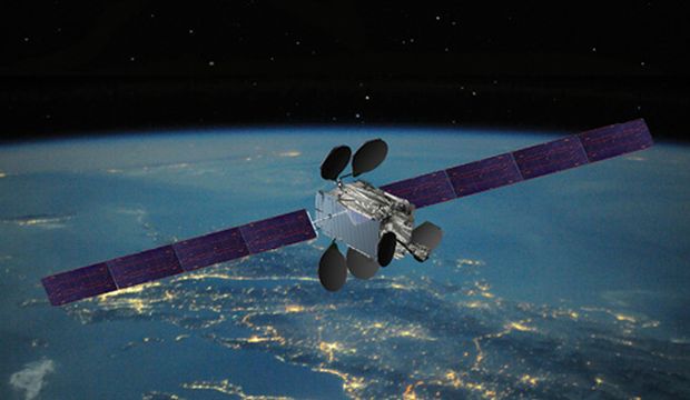
File image – Intelsat-33e3.
UK-based UAS/UAV and spatial management technology company RelmaTech has declared that truly-global identification and tracking of all flying and moving objects is technically and commercially viable. The company says this represents a significant leap toward achieving continuous geographic coverage and global access to multi-device tracking services.
RelmaTech’s Secure Integrated Airspace Management (SIAM) spans cellular mobile networks in multiple countries across the US, Europe and Asia, but was always dependent upon network signal coverage. The new project confirms that RelmaTech’s UAS/UAV ID and Tracking service technology is now fully compatible with the latest satellite internet service from Iridium.
“We always knew that SIAM would take a strategic leap forward if it could be shown to work globally on a satellite internet service,” said RelmaTech’s co-founder and CEO, and president of RelmaTech Inc. Philip Hall. “SIAM was designed in a highly modular form, capable of rapid reconfiguration for satellite solutions, but up until now we had no way of demonstrating how it would work end-to-end.”
Iridium’s recent release of a new format, ultra-compact satellite modem provided the technology platform that RelmaTech had been looking for, and initial trials have exceeded all expectations, he said.
“We were able to load our SIAM software engines relatively easily onto the new Iridium units,” Mr Hall explained.
“The Iridium module is configured for highly flexible access to the satellite comms link, enabling us to develop a fully working demonstration of SIAM over satellite internet. Even more exciting is that this paves the way for all our additional datalink services to be available over the same system.”
RelmaTech specialises in building advanced, secure global real-time vehicle/device identification, tracking and situational awareness across multiple applications. Based on compact, light-weight, low-power modules that readily deploy into all types of UAS, its cloud-based SIAM system is said to serve all operational needs for managing large fleets of UAV/UAS over national and continental areas. All UAS flown in the recent NASA UTM TCL4 program in Reno, Nevada was fitted with a SIAM module that provided continuous real-time UAS remote ID and tracking information over the cellular network and by WiFi direct broadcast.
“This satellite service extension represents the final major step in reaching continuous global device management, enabling us to move into commercial trials with key partners,” Mr Hall said.


