Earth observation technology is helping Pacific Island communities overcome barriers to coastal ecosystem monitoring.
Mangrove forests and seagrass meadows are among the Pacific’s most important natural defences against climate change. They protect coastlines, support fisheries, store carbon, and help sustain the livelihoods of coastal communities.
Yet understanding how these coastal ecosystems are changing across thousands of islands and kilometres of coastline remains a challenge.
Traditional field surveys are often expensive, time-consuming and limited to relatively small areas. For many Pacific Island countries, regularly monitoring coastal ecosystems at a national scale has not always been possible.
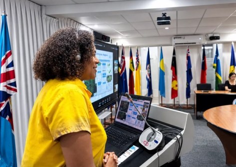
A recent Pacific Community (SPC) Committee of Representatives of Governments and Administrations (CRGA) meeting sessions in Suva, experts gathered to learn how Earth observation technology is changing the situation for the better.
Delegates explored how satellite data is being used to improve the management and conservation of blue carbon ecosystems through the Management and Conservation of Blue Carbon Ecosystems (MACBLUE) Project and SPC’s Digital Earth Pacific (DE Pacific) platform.
New tools for ocean territories
The session, facilitated by SPC’s Earth and Oceans Observations team introduced delegates to regional datasets that map mangrove forests, seagrass ecosystems and other coastal marine habitats across the Pacific.
DE Pacific is SPC’s regional Earth observation programme, providing countries with access to satellite imagery, geospatial data and analytical tools that help convert complex environmental information into practical products for planning and decision-making.
For countries managing large ocean territories, these tools offer a new way to understand environmental change.
Rather than relying solely on periodic surveys, governments can use satellite observations to monitor coastal ecosystems over time, identify areas experiencing change and assess where conservation or restoration efforts may be needed.
Identifying coastal ecosystems priority areas
“For many Pacific Island countries, collecting environmental information across large and often remote coastal areas can be challenging,” said Ms Elenoa Biukoto, Earth Observation Technical Officer at SPC.
“Earth observation allows us to monitor mangroves and seagrass ecosystems at a scale that was previously difficult to achieve.
“By combining satellite data with field observations, countries can better understand environmental change, identify priority areas for conservation and generate the evidence needed to support climate action and sustainable management of coastal resources.”
A key part of the MACBLUE approach is combining satellite observations with field-collected data.
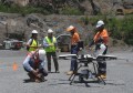
Participants involved in country activities gather data directly from coastal environments, helping verify satellite-derived maps and improve their accuracy.
This not only strengthens confidence in the information being generated but also builds national expertise in geospatial analysis and environmental monitoring.