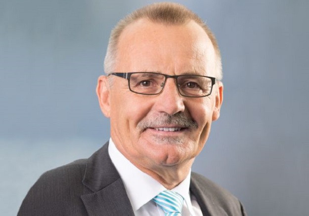
Rudolf Staiger, President of the International Federation of Surveyors
The President of FIG reflects on his four years at the helm and what the future holds for the surveying and spatial sector.
Rudolf Staiger has served as President of the International Federation of Surveyors (FIG) since 2019, with his term due to expire towards the end of this year. Previously he served as FIG Vice President and as Chair of Commission 5 (Positioning and Measurement). In this short interview, we asked him to reflect on developments in the industry.
Please give us a brief overview of your background.
My early studies in geodesy were in Karlsruhe and Paris from 1976 to 1982, and I was scientific assistant at the University of Karlsruhe (Geodetic Institute) from 1983 to 1987. My PhD thesis (1988) dealt with the online determination of 3D co-ordinates with electronic theodolites. This was followed by six years with KERN and LEICA in Aarau (Switzerland) in marketing and R&D. In 1994 I joined the University of Essen (Department of Surveying) and changed to the University of Applied Sciences in Bochum in 2005. I retired two months ago.
My thematic specialties are in close-range triangulation, laser tracking and laser scanning, quality assurance and calibration of geodetic devices.
Location-based data is now widely available to anyone. Is this a threat to traditional professionals, or does it create opportunities?
There are both threats and opportunities. However, the opportunities are much bigger than the threats! Thirty years ago, surveying and its results were restricted to military and public services — our profession was widely unknown to the general public. Today, location-based data is acknowledged as important backbone for almost every service we use in our daily life. Our profession and our services are better known, and becoming a geo-data engineer is much more attractive than it was years ago.
The threat is that the field of location-based data is not ‘reserved’ for the surveying community. Instead, it has become a dynamic field among different disciplines.
How do you see the research and private sectors working together?
The two sectors have always worked in a spirit of constructive co-operation. In former times the universities worked on the base technologies (including prototyping), which were afterwards transformed by industrial partners into products. Today, the development of new technologies and products is highly dynamic with a lot of different disciplines involved. Software is omnipresent. Universities try to bridge the gap between fast and multidisciplinary private sector developments, with the support of start-up companies out of their environments.
The world is increasingly dependent on located-based data. Is the industry keeping up with that need?
The classical surveying branch for cadastral and public services is, in most cases, not keeping up. The current generation of sensors can be used on a global scale totally independent from province or state boundaries, where our standard services normally end.
Australia is trying to entice more young people into the sector. Do you have any advice for us?
Australia is not alone with this situation. The whole of western Europe and North America are in the same situation. I do not have a recipe for success. We are trying to promote the usefulness and solidity of our profession to the younger generation. In Germany we recently had a successful campaign with a children’s book with the title, ‘I have a friend; she is a geodesist’.
Do you think AI and ML will reduce the need for human professionals?
It will reduce the need for human professionals. But those who are needed in the future must be highly qualified — at least as well-qualified as the current generation. If you look at the history of technical progress and automation, the routine tasks are always the first ones to be automated.
As you approach the end of your FIG presidency, do you have any reflections?
My entire term has been overshadowed by the impact of COVID-19. The Working Week (every year) and the Congress (every four years) are our important events. We had to cancel the Working Week for 2020 entirely and we had to transform the 2021 Working Week into a virtual one. This worked very well but also showed the desire for meeting in-person. Now we are preparing for the 2022 Congress in Warsaw, Poland. Poland has a common border with Ukraine and currently there are one million refugees in the city.
We have had a lot of ideas to work on, such as the future format of the Federation and our events, and the contribution of our profession to the UN SDGs. But COVID forced us first of all to navigate FIG through these challenging times of uncertainty. That’s where we have spent most of our energy and time.
Stay up to date by getting stories like this delivered to your inbox.
Sign up to receive our free weekly Spatial Source newsletter.


