

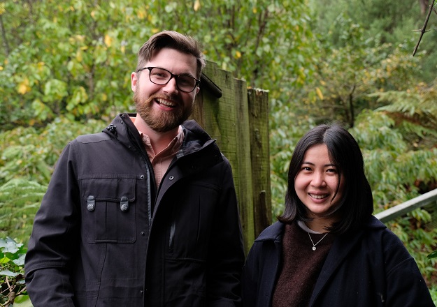
Julian Hitchman and Danica Torres
Danica Torres and Julian Hitchman have been selected to receive a Special Achievement in GIS Award at the 2022 Esri Global User Conference.
The award recognises their work in developing mapping applications that help people access the outdoors.
The duo developed Pocket Maps, a mobile application that enables New Zealanders to view public access areas and conservation land across Aotearoa New Zealand, anytime and anywhere.
The maps can be viewed online with a Wi-Fi connection or downloaded to be viewed offline.
Julian and Danica also developed the Walking Access Commission’s open data portal, which gives everyone in the world free access to the Commission’s access data to create their own maps and resources.
The pair studied together at Victoria University and then worked together at the Walking Access Commission, where they discovered a shared passion for using maps and data to help New Zealanders access the outdoors.
Danica grew up in the Philippines and moved to New Zealand when she was 16. She said public access is very different in the Philippines than in NZ.
“It’s not talked about like here in New Zealand, and many areas are more privatised. Every time you want to go to the beach, you pay an entrance fee; you want to go to a park, you pay a fee. You cannot just walk in,” she said.
“And then I moved here. You can go to a nice beach and just see the water. And that was something that I never realised, was like, normal, I guess, and how good it is to have that access.”
Julian grew up in Hawke’s Bay. “Our doorstep was amazing — big redwoods where you could go mountain biking and exploring and walking. And I guess that informed my outlook,” he said.
Julian got into geology because “you know, geology is exploring and is being in the outdoors. And a big part of it is also mapping. I hadn’t heard of GIS, but as a kid I read stories like Treasure Island and The Hobbit, seeing these amazing fantasy maps that tell stories.”
“When I found out that you could study it… I just fell in love with it, really.”
Stay up to date by getting stories like this delivered to your inbox.
Sign up to receive our free weekly Spatial Source newsletter.


