

Enjoy our new weekly compilation of geospatial news snippets from across Australia and around the world.
Sentinel Expansion Missions given the go-ahead
By jnally on 30 October, 2024The UK’s re-entry into the program has been credited with providing the necessary funding for final approval.
Microcredentials help fill the skills gap
By jnally on 28 October, 2024The UniSQ drone mapping and GIS courses aimed to teach new skills and help professionals stay competitive.
Q&A with Renee Bartolo, DCCEEW Chief Remote Pilot
By jnally on 21 October, 2024Protecting and preserving Australia’s ancient landscape using cutting-edge drone and mapping technology.
Latest Geospatial News
View all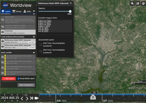
A new tutorial shows how to find harmonised Landsat and Sentinel-2 imagery by area of interest.
 2025-03-12
ADVERTISEMENT
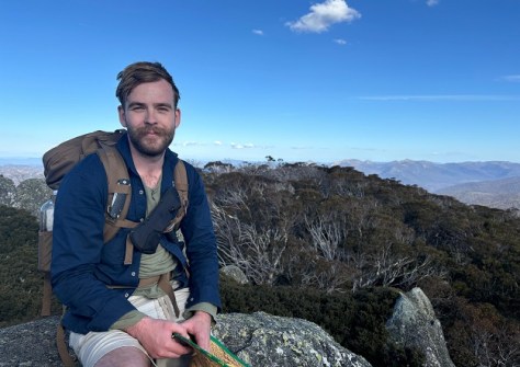
We speak with James Sadler, the new chair of the GCA Young and Emerging Professionals area of practice.
2025-03-11 
Upwards of 2,000 people are expected to attend the combined FIG Working Week 2025 and Locate25 conferences.
2025-03-11 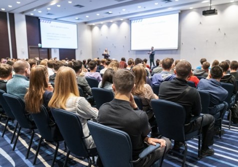
10 March is the grant application deadline for young professionals to attend FIG Working Week/Locate25.
2025-03-05 
Kanyini’s first EO images have been released more than 200 days after the spacecraft went into orbit.
2025-03-05 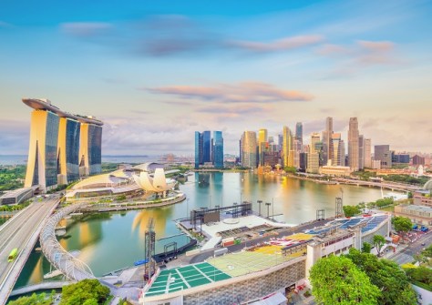
Two new research collaborations will drive geo-enabled solutions to address climate mitigation and adaptation.
2025-03-05
ADVERTISEMENT
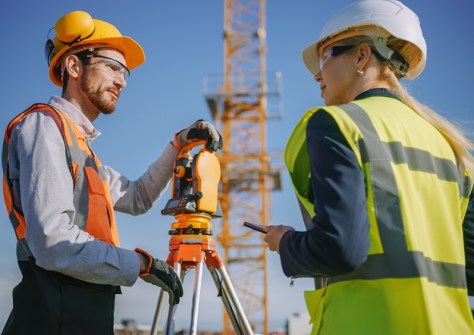
The GCA and Surveyors Australia will strengthen the National Engineering Surveying Certification Program.
2025-03-05 
- Sponsored Content
Aidedo was founded based on the practical experience of CEO Aiden Tong while studying and working with many Civil Engineering and Land Surveying firms in developed countries.
2026-06-02
Hexagon | NovAtel aims to add enhance its GNSS+INS technology through the addition of ground-penetrating radar.
2025-03-05 



Events
View All-
Nov 9
2026 Advancing Earth Observation Forum
 Hobart, Tasmania
-
Nov 10
SouthPAN Industry Day
Online -
Nov 13
South West and Great Southern Surveyors Conference
Mantra Bunbury Lighthouse, Bunbury, WA -
Nov 24
Locate26 Conference / 10th Digital Earth Summit
Melbourne Convention & Exhibition Centre -
Nov 30

