Experts in GNSS, PNT and robotics have been lined up to speak at the conference in Sydney in February.
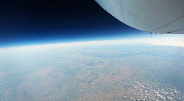
Stratoship tests persistent Earth observation platform
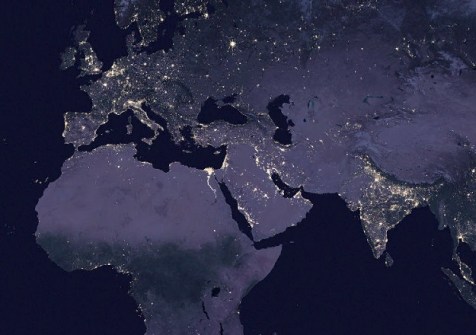
The company aims to reduce Australia’s dependence on foreign satellites for observation capabilities.
Read moreLatest Geospatial News
View all
ADVERTISEMENT
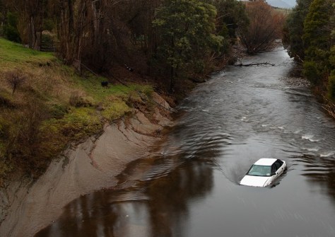
The Tasmanian Strategic Flood Map–Risk Assessment provides a digital twin for strategic flood risk estimation.
 2023-11-24
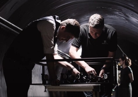
The project will seek to harness quantum tech to guarantee the authenticity of received PNT data.
 2023-11-24
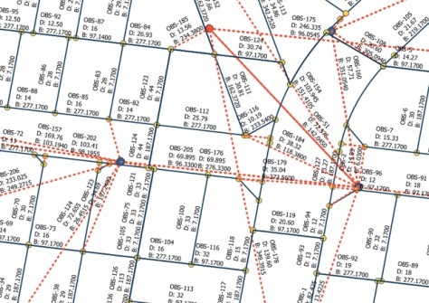
The project will deliver a standard specification for exchanging Australian and New Zealand cadastral survey data.
 2023-11-23
Highly regarded individuals and teams received their awards at the annual ceremony in Canberra.
 2023-11-21
The interactive online mapping tool lets students and teachers explore the world through geography.
 2023-11-21
ADVERTISEMENT
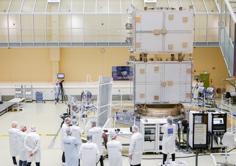
The tests exposed the spacecraft to launch-like noise and vibrations, and assessed its ability to send signals.
 2023-11-20
Series A round investment in the geospatial intelligence company now totals US$35 million.
 2023-11-20
 Events
View All-
Aug 3
International Geoscience and Remote Sensing Symposium
 Brisbane Convention & Exhibition Centre
 -
Aug 26
GIScience 2025
 Christchurch, New Zealand
 -
Sep 10
Survey and Spatial New Zealand Annual Conference
 Te Pae, Christchurch
 -
Sep 17
AIMS National Conference
 Novotel Sunshine Coast Resort, Queensland
 -
Sep 29
76th International Astronautical Congress
 Sydney, Australia


