

The collaboration will deliver a mobile solution that enables the visualisation of buried infrastructure.
Free mapping data enables vital pest control
By jnally on 23 April, 2025LINZ Basemaps data is being used to help control pest species and improve native habitats across New Zealand.
DEA Land Cover 2.0 tracks changes over time
By jnally on 23 April, 2025DEA Land Cover provides a detailed portrait of Australia made possible by nearly four decades of EO data.
Bentley, Google expand analytics partnership
By jnally on 23 April, 2025Bentley’s Blyncsy solution will use Imagery Insights from Google Maps Platform to analyse roadway conditions.
New tool reveals shallow groundwater elevations
By jnally on 23 April, 2025A tool that identifies areas at risk from groundwater flooding has been developed by New Zealand scientists.
95% accuracy boost in vegetation mapping
By jnally on 22 April, 2025A new method more accurately defines areas of natural vegetation and agricultural production by crop type.
SARIG Catalogue combines geology and geospatial
By jnally on 17 April, 2025The Catalogue combines previously published datasets and spatially bound records into one searchable portal.
Geospatial in School Awards recipients announced
By jnally on 16 April, 2025Two outstanding teachers and a high school student have been recognised with prestigious awards.
Latest Geospatial News
View all
The Joint Spatial Propagation Super-Resolution AI model uses open satellite data and modest computing power.
 2025-12-04
ADVERTISEMENT

Nicky Bowen’s role is to elevate standards and strengthen capability across the built-environment sector.
2025-12-04 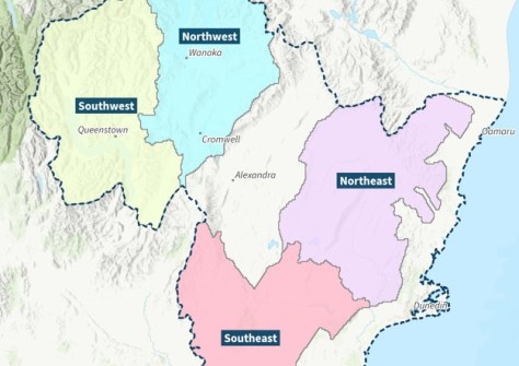
The funding will help Otago Regional Council boosts its region’s LiDAR coverage from 28% to 100%.
2025-12-04 
This week: Geospatial jobs, conferences and webinars, scholarships for women, seabed mapping and more.
2025-12-03 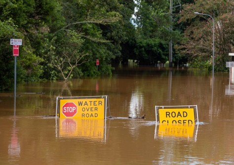
Geospatial, socioeconomic and property data reveal the inequalities faced by flood-prone communities.
2025-12-03 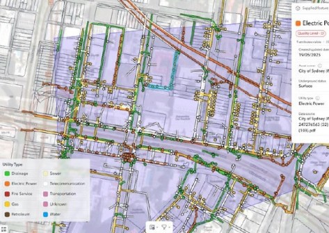
A BYDA trial tested whether diverse utility data can be visualised clearly on a single GIS platform.
2025-12-03
ADVERTISEMENT
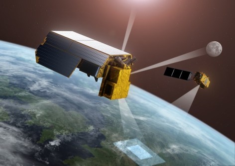
The funding through ESA is on top of £471m allocated to ESA EO projects over the next four years.
2025-12-02 
- Sponsored Content
Aidedo was founded based on the practical experience of CEO Aiden Tong while studying and working with many Civil Engineering and Land Surveying firms in developed countries.
2026-06-02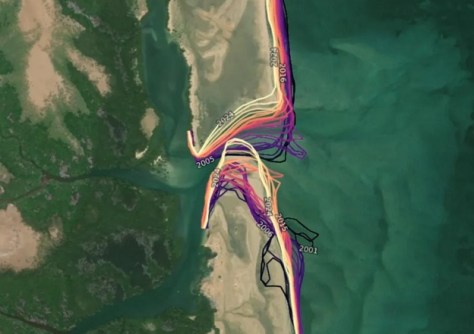
The International Centre of Insect Physiology and Ecology has been appointed DEA’s ‘long-term owner’.
2025-12-02 



Events
View All-
Nov 6
GIS in Local Government Day 2026
 Amora Hotel Adelaide, 233 Victoria Square, Adelaide
-
Nov 9
2026 Advancing Earth Observation Forum
Hobart, Tasmania -
Nov 10
SouthPAN Industry Day
Online -
Nov 13
South West and Great Southern Surveyors Conference
Mantra Bunbury Lighthouse, Bunbury, WA -
Nov 24
Locate26 Conference / 10th Digital Earth Summit
Melbourne Convention & Exhibition Centre

