

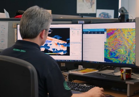
The South Australian Department for Energy and Mining has announced the launch of the SARIG Catalogue, a new geoscience open data catalogue that forms part of the South Australian Resources Information Gateway suite of delivery services.
The SARIG Catalogue combines datasets previously published from multiple systems into one searchable portal, enabling users to find all records in one place, along with a host of new features.
The new and modernised interface enables users to search all records, filter by record type or explore by category and collections in a new, easy-to-use dashboard.
Records are now spatially bound, with users able to easily search on a map and access past and current exploration activities by location.
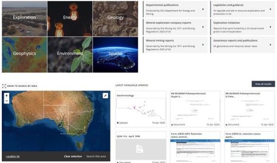
The Catalogue provides access to a wider range of data, such as:
- Publications and reports;
- Geological maps, products and models;
- An extensive spatial data library; and
- Database extracts
Historically, exploration reports were submitted as physical documents, which included handwritten geological logs, and were filed annually in physical envelopes.
In the early 2000s this reporting became digital, combining the contents of the physical documents into complex PDF envelopes.
As new mineral exploration reports are published in the new SARIG Catalogue, the catalogue will open these envelopes into separate annual reporting resources.
Improved accessibility means users will be able to easily search, select and download the data files that are most relevant to them.
The SARIG Catalogue adheres to international standards (ISO 19115-3) and OGC standard Catalogue Service for the Web (CSW) protocols, ensuring seamless interoperability with other systems.
A GitHub repository includes guides and tools for querying metadata records and interacting with the new system, and a range of FAQs is available.


