

Data visualisation and mapping have a vital role in preparing for and responding to hazards and disasters.
Best of 2025: AI, LiDAR for forestry management
By jnally on 29 December, 2025AI and 3D airborne LiDAR have been used to map radiata pine forests for most of New Zealand’s North Island.
New map shows 800+ renewable energy projects
By jnally on 23 December, 2025The Net Zero Investment Map brings details projects backed by private investors and the government.
DEA Coastal Ecosystems product suite released
By jnally on 22 December, 2025The suite uses Sentinel-2 data to produce 10-metre-resolution maps of four coastal ecosystem types.
Latest Geospatial News
View all
Topcon Positioning Systems will gain early access to Xona’s low Earth orbit satellite navigation constellation.
 2026-02-20
ADVERTISEMENT

South Australia’s long-running spatial event will be held on 7 August at the Adelaide Convention Centre.
2026-02-20 
Phase One’s Dr Mohsen Miri will give real-world insight into optimising acquisition and processing workflows.
2026-02-20 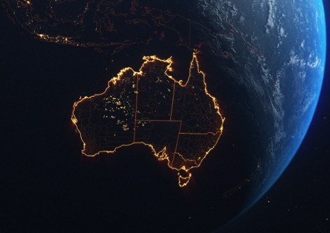
Australia has all the PNT elements to protect its national and economic needs, but government leadership is missing.
2026-02-20 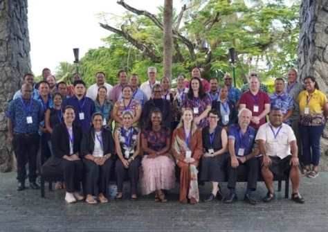
Delegates from across the Pacific are working out how best to utilise EO data, such as that from Digital Earth Pacific.
2026-02-19 
FrontierSI’s new positioning, timing and navigation study outlines ways to strengthen Australia’s PNT ecosystem.
2026-02-18
ADVERTISEMENT

This week: Lots of job vacancies, industry PhD programs, take part in a VR trial, create a cartoon and more.
2026-02-18 
- Sponsored Content
Aidedo was founded based on the practical experience of CEO Aiden Tong while studying and working with many Civil Engineering and Land Surveying firms in developed countries.
2026-06-02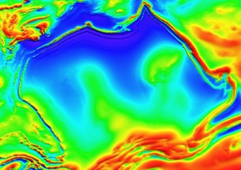
The underground Australia Magnetic Anomaly gets its name from its shape, which resembles continental Australia.
2026-02-17 Cool Tools
View All-
 CHC Navigation at Locate26: Connected Geospatial Solutions Across Land, Air and Water
-
 Responsible AI for better decisions: Why geospatial context matters
-
 Stop parking it: meeting the Essential Eight with ArcGIS may be more achievable than you think
-
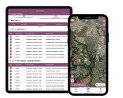 GBM Konect launches Konect 2 to close the field data gap
Events
View All-
Nov 6
GIS in Local Government Day 2026
 Amora Hotel Adelaide, 233 Victoria Square, Adelaide
-
Nov 9
2026 Advancing Earth Observation Forum
Hobart, Tasmania -
Nov 10
SouthPAN Industry Day
Online -
Nov 13
South West and Great Southern Surveyors Conference
Mantra Bunbury Lighthouse, Bunbury, WA -
Nov 24
Locate26 Conference / 10th Digital Earth Summit
Melbourne Convention & Exhibition Centre

