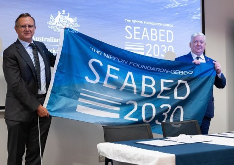
GA will play an active role in supporting Seabed 2030’s mission of accelerating ocean floor mapping.

LOCATE exhibitor, sponsor prospectus available
With the event less than 10 months away, now’s the time for companies to plan for their participation in LOCATE.
Read moreLatest Geospatial News
View all
ADVERTISEMENT
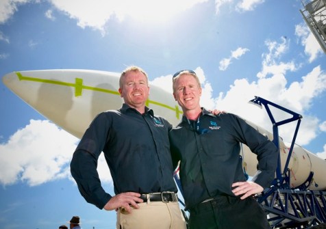
Gilmour Space Technologies has been awarded a launch permit for the first flight of its Eris rocket.
 2024-11-05
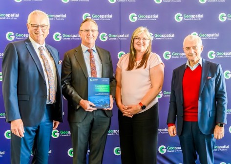
A new report highlights the vital value of geospatial data and tech to Australia’s economic and social wellbeing.
 2024-11-05
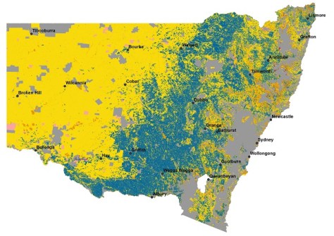
NSW’s Native Vegetation Regulatory Map has proven pivotal for identifying land use over 800,000 square kilometres.
 2024-11-04
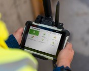
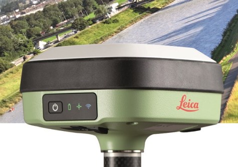
The GS05’s streamlined data-collection functionalities enable surveyors to do more each day in the field.
 2024-11-01
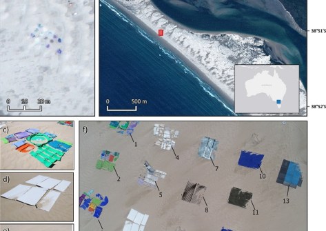
RMIT scientists have developed a satellite imagery spectral index for detecting plastics on beaches.
 2024-10-31
ADVERTISEMENT
Enjoy our new weekly compilation of geospatial news snippets from across Australia and around the world.
 2024-10-30
The UK’s re-entry into the program has been credited with providing the necessary funding for final approval.
 2024-10-30
 Events
View All-
Feb 4
PNT 2026 Conference
 Royal Randwick racecourse, Sydney
 -
Feb 17
Geo Week 2026
 Colorado Convention Center, Denver
 -
Mar 4
BYDA Utility Safety Conference 2026
 RACV Club Melbourne
 -
Mar 16
Association of Public Authority Surveyors (APAS) 2026 Conference
 Park Proxi Gibraltar, Bowral, NSW
 -
Mar 22
Hydrospatial 2026 Conference
 Shed 6, Wellington, New Zealand


