senseFly eyes growth after balance sheet restructure

By on 12 February, 2020

Parrot has cast a big vote of confidence in favour of its fixed-wing drone outfit senseFly.

Read full story • Comments { 0 }

SA bushfire mapping deployed to Californian hotspots

By on 11 February, 2020

New real-time bushfire mapping technology created in South Australia is being deployed to California and Canada.

Read full story • Comments { 0 }

Space is becoming way too crowded

By on 11 February, 2020

Astronomers are becoming worried about satellite debris and the sheer number of satellites in orbit.

Read full story • Comments { 0 }

Dial Before You Dig to get Esri power

By on 11 February, 2020

DBYD Vic/Tas has introduced technology automating processes across construction projects.

Read full story • Comments { 0 }

Topcon releases rugged FC-6000 survey tablet

By on 11 February, 2020

The new FC-6000 model builds on the popular Topcon FC-5000 rugged field tablet.

Read full story • Comments { 0 }

Drone use expanded in the coronavirus battle

By on 11 February, 2020

In China, UAV are now used for a wide range of tasks to assist with the coronavirus outbreak.

Read full story • Comments { 0 }

Satellite technology can track all flying objects

By on 11 February, 2020

RelmaTech has validated the viability of UAS remote identification and tracking over satellite internet.

Read full story • Comments { 0 }

Tiny houses can lead to big planning problems

By on 9 February, 2020

While tiny houses are about more than their cost, they present some planning challenges.

Read full story • Comments { 0 }

SSSI to hold National Bushfire Recovery Map-a-thon

By on 6 February, 2020

The initiative is billed as a way the surveying and spatial science profession can provide valuable input and assistance.

Read full story • Comments { 0 }

Airbus, Hexagon sign on to Geo Connect Asia 2020

By on 4 February, 2020

South East Asia’s first geospatial services and location intelligence event takes place 18-19 March at Suntec Singapore.

Read full story • Comments { 0 }

Latest Geospatial News

View all
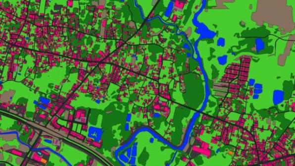
Ecopia AI and Airbus partner for next-generation digital maps on a global scale
Ecopia AI has announced a partnership with Airbus to produce next-generation digital maps on a global scale.
ADVERTISEMENT
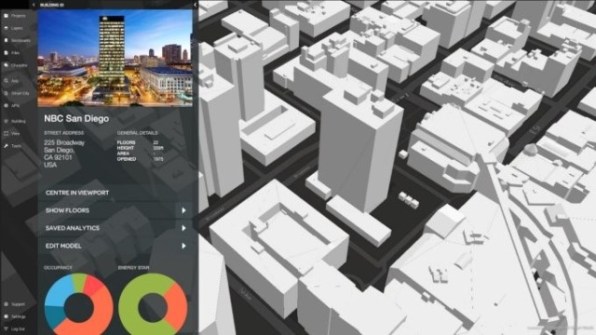
Digital twin technology for sustainable future cities
70% of the world’s carbon emissions come from cities - digital twin technology may hold the key to reversing this.
The FME World Fair is coming to a screen near you
 1Spatial will be co-hosting four sessions at this year’s FME World Fair on 7-13 May, going fully virtual.
Quantum technology to assist Australian Moon missions
Q-CTRL will provide the first quantum sensing and navigation technologies for Australian space exploration.
Locate21 Program now live, speakers announced
Locate21 will be exploring ‘Convergence, Collaboration and Community - towards a stronger economy’.
CSIRO moves to free model with Open Access
CSIRO said the changes would see the removal of paywalls and enable unrestricted access to its research.
ADVERTISEMENT
LiDAR sensors help drive unmanned bus
Ouster and Qcraft have launched another fleet of robobuses outfitted with Ouster LiDAR sensors
How do AEC Firms in Australia easily access engineering workforce at a lower cost?
  • Sponsored Content
How do AEC Firms in Australia easily access engineering workforce at a lower cost?
Aidedo was founded based on the practical experience of CEO Aiden Tong while studying and working with many Civil Engineering and Land Surveying firms in developed countries.
New weapon in the anti-drone wars
DroneShield has released the DroneCannon MKII, the next generation fixed-site UAS/drone disruption device.

Events

View All

Featured Video

Newsletter

Sign up now to stay up to date about all the news from Spatial Source. You will get a newsletter every week with the latest news.