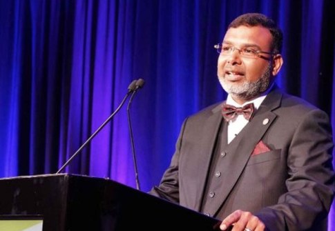
More than 20 outstanding individuals and groups have been recognised for a variety of projects and achievements.
 2021-04-01


With more than1,000 current students, UniSQ is keeping pace with a changing profession and new technologies.
Read more
2021-04-01
2021-04-01
2021-03-31
2021-03-30
2021-03-30
2021-03-29
2021-03-29  2026-06-02
2021-03-26
2026-06-02
2021-03-26 


 Sails by Rydges, Port Macquarie Rydges Melbourne Pan Pacific, Perth Hobart, Tasmania Mantra Bunbury Lighthouse, Bunbury, WA
© 2026 Spatial Source. All Rights Reserved.
Powered by WordPress. Designed by