

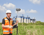
Wingtra has announced the availability in Australia of the WingtraOne GEN II advanced VTOL drone.
Geoscience Australia to give online update briefing
The Showcase 2026 event will cover the Digital Atlas of Australia, seabed mapping, critical minerals and more.
Read moreLatest Geospatial News
View all
ADVERTISEMENT
The contracts will broaden access to Earth imagery for US government civil science researchers and collaborators.
The in-person and online meeting will explore the theme of ‘mapping the future of land administration’.
The Territory Space Strategy 2021–25 aims to position the Northern Territory as a world-class space locale.
The Australian company is aiming to expand its offerings in GPS, radio frequency systems, sensors and robotics.
Harris has been elevated from Deputy to Chair of the peak government body responsible for spatial information.
ADVERTISEMENT
The Hub will offer secure labs, clean rooms, rapid prototyping facilities as well as mentoring and training.
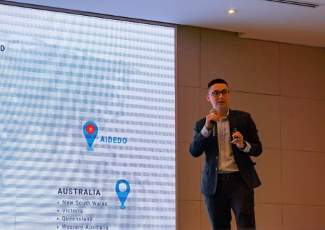
Aidedo was founded based on the practical experience of CEO Aiden Tong while studying and working with many Civil Engineering and Land Surveying firms in developed countries.
The poster encourages children to delve into surveying while learning the culture of our Traditional Owners.
Events
View All-
Nov 24
Locate26 Conference / 10th Digital Earth Summit
Melbourne Convention & Exhibition Centre -
Nov 30
-
Feb 5
2026 National EISSI Awards
The Marion, Barrine Drive Regatta Point, Commonwealth Park, Canberra -
Mar 15
Association of Public Authority Surveyors, NSW, 2027 Conference
Crowne Plaza, Terrigal